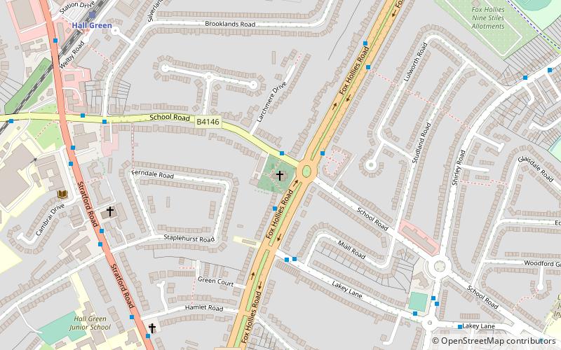
Church of the Ascension, Birmingham
Map

Map

Facts and practical information
The Church of the Ascension is a Church of England parish church in the Hall Green area of Birmingham, England. ()
Alternative names: Completed: 1704 (322 years ago)Architectural style: Queen Anne style architectureCoordinates: 52°26'2"N, 1°50'23"W
Address
592 Fox Hollies RdHall GreenBirmingham B28 9DX
Contact
+44 121 777 3689
Social media
Add
Day trips
Church of the Ascension – popular in the area (distance from the attraction)
Nearby attractions include: Sarehole Mill, Swanshurst Park, Moseley Bog, St Christopher's Church.
Frequently Asked Questions (FAQ)
Which popular attractions are close to Church of the Ascension?
Nearby attractions include Sarehole Mill, Birmingham (17 min walk), Shire Country Park, Birmingham (18 min walk), Fox Hollies, Birmingham (20 min walk), St Peter's Church, Birmingham (22 min walk).
How to get to Church of the Ascension by public transport?
The nearest stations to Church of the Ascension:
Train
Train
- Hall Green (9 min walk)
- Spring Road (19 min walk)


