Low Force, Moor House-Upper Teesdale
#2 among attractions in Moor House-Upper Teesdale

Facts and practical information
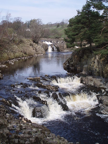
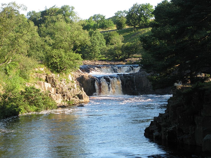
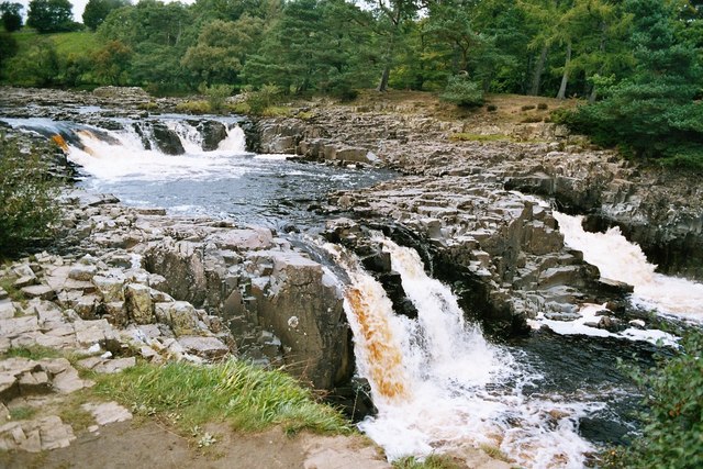
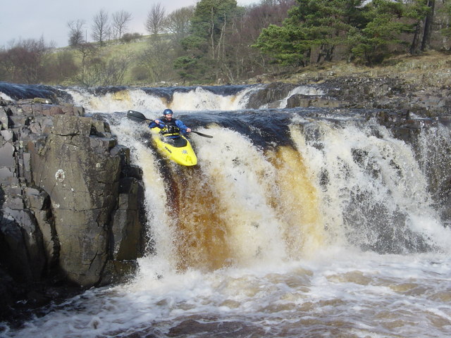
Low Force is an 18-foot high set of falls on the River Tees, England, UK. Further upstream is the High Force waterfall. Low Force is also the site of the Wynch Bridge, completed in 1830. It is suggested that only one person at a time should cross the bridge as it may be unstable. ()
Moor House-Upper Teesdale United Kingdom
Low Force – popular in the area (distance from the attraction)
Nearby attractions include: High Force, Cauldron Snout, Grassholme Reservoir, Baldersdale Woodlands.
 Natural attraction, Waterfall
High Force, Moor House-Upper Teesdale
38 min walk • High Force is a majestic natural wonder situated in the heart of Moor House-Upper Teesdale, in the United Kingdom. This impressive waterfall is not only one of the most spectacular sights in the region but also holds the title of being the highest uninterrupted drop of...
 Natural attraction, Waterfall
Cauldron Snout, Moor House-Upper Teesdale
141 min walk • Cauldron Snout is a cascade on the upper reaches of the River Tees in Northern England, immediately below the dam of the Cow Green Reservoir.
 Lake
LakeGrassholme Reservoir, Middleton-in-Teesdale
106 min walk • Grassholme Reservoir is a large reservoir in County Durham, England. It is situated in Lunedale, which is a side valley of the River Tees, about 2 miles south of Middleton-in-Teesdale.
 Nature, Natural attraction, Forest
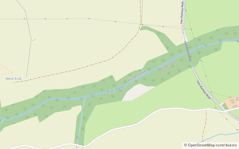
Baldersdale Woodlands
188 min walk • Baldersdale Woodlands is a Site of Special Scientific Interest in the Teesdale district of south-west County Durham, England. It consists primarily of ancient, semi-natural woodland growing on steep valley slopes, including scree, on both banks of the River Balder over a stretch of some 3 km, upstream of the village of Cotherstone.
 Nature, Natural attraction, Mountain
Kirkcarrion, Middleton-in-Teesdale
86 min walk • Kirkcarrion is a copse of pine trees, surrounded by a stone wall, on a hilltop near Middleton-in-Teesdale, County Durham, England. The trees, which were planted in Victorian times, cover a tumulus which is reputed to be the burial place of a Bronze Age chieftain, Prince Caryn, who ruled before the days of the Romans.
 Nature, Natural attraction, Cave
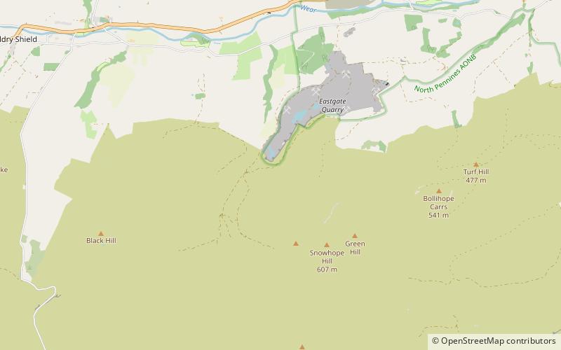
Fairy Holes Cave
135 min walk • Fairy Holes Cave is a Site of Special Scientific Interest in the Wear Valley district of west County Durham, England. It is located on the western flanks of Snowhope Moor, on the right bank of Westernhope Burn, some 3 km south-west of the village of Eastgate.
 Nature, Natural attraction, Valley
Baldersdale
157 min walk • Baldersdale is a dale, or valley, on the east side of the Pennines in England, northwest of Barnard Castle. Its principal settlements are Hury and Briscoe. Baldersdale lies within the traditional boundaries of the North Riding of Yorkshire.
 Nature, Natural attraction, Forest
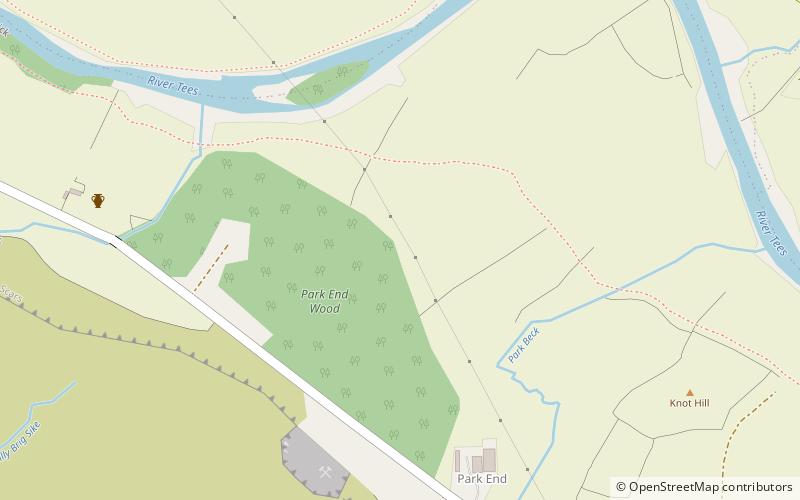
Park End Wood
45 min walk • Park End Wood is a Site of Special Scientific Interest in the Teesdale district of west County Durham, England. The site occupies a low hill of Whin Sill on the southern edge of the River Tees floodplain just over 2 km upstream from the village of Middleton-in-Teesdale.
 Nature, Natural attraction, Mountain
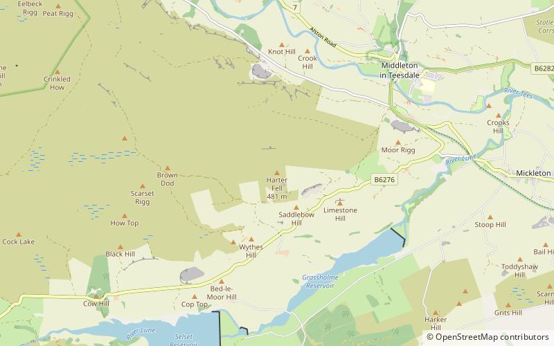
Harter Fell
76 min walk • Harter Fell, Lunedale is an area of upland heath in west County Durham, England. It lies on the watershed between the River Tees to the north-east and the River Lune to the south and reaches a maximum height of 481 metres asl about 1 km north of the hamlet of Thringarth.
 Nature, Natural attraction, Lake
Hury Reservoir
163 min walk • Hury Reservoir is a reservoir in County Durham, England situated in Baldersdale. The reservoir is located about four miles south of Middleton-in-Teesdale and about three miles west of Cotherstone.
 Nature, Natural attraction, Lake
Selset Reservoir
108 min walk • Selset Reservoir is a reservoir in County Durham, England. It is situated in Lunedale which is a side valley of the River Tees, about 5 miles west of Middleton-in-Teesdale. It supplies water for Teesdale and is owned by Northumbrian Water. It was built in 1960 and its main use is sailing.


