Park End Wood

Map
Facts and practical information
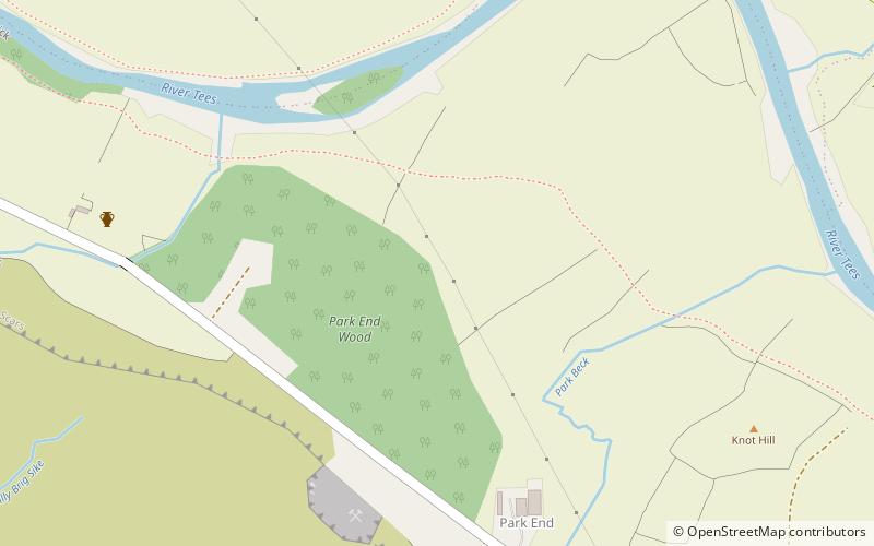
Park End Wood is a Site of Special Scientific Interest in the Teesdale district of west County Durham, England. The site occupies a low hill of Whin Sill on the southern edge of the River Tees floodplain just over 2 km upstream from the village of Middleton-in-Teesdale. It adjoins the Upper Teesdale SSSI to the south, and the Middle Crossthwaite and Stonygill Meadows SSSIs are nearby. ()
Established: 1964 (62 years ago)Coordinates: 54°37'46"N, 2°7'6"W
Day trips
Park End Wood – popular in the area (distance from the attraction)
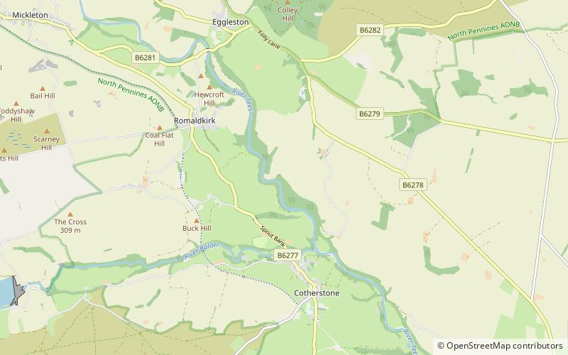
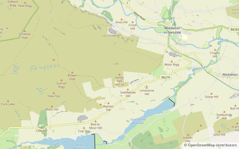
Nearby attractions include: High Force, Low Force, Grassholme Reservoir, Baldersdale Woodlands.


