Selset Reservoir

Gallery (1)
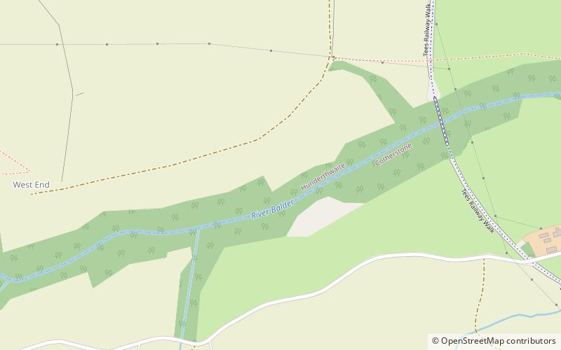
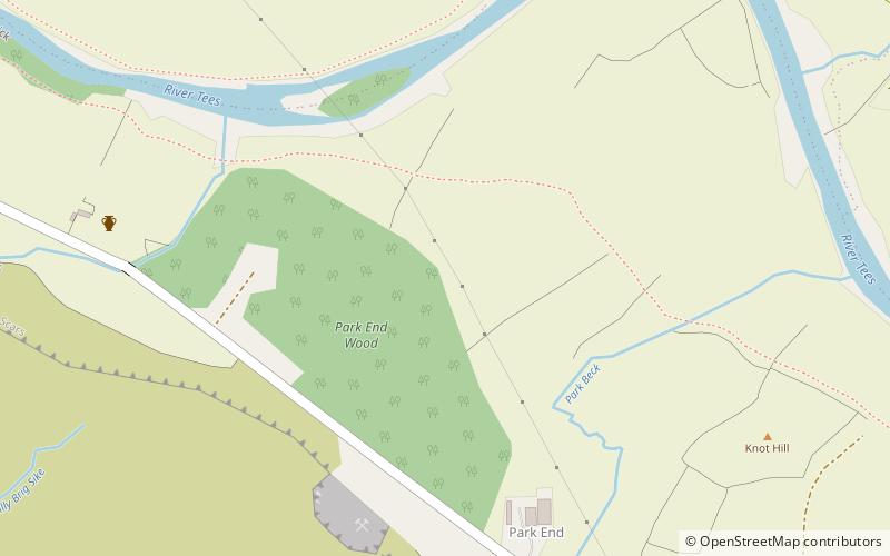
Map
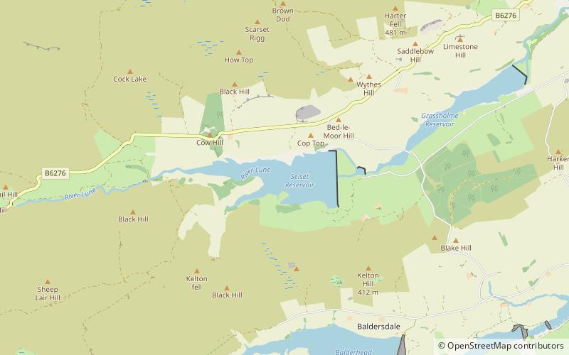
Map
Facts and practical information
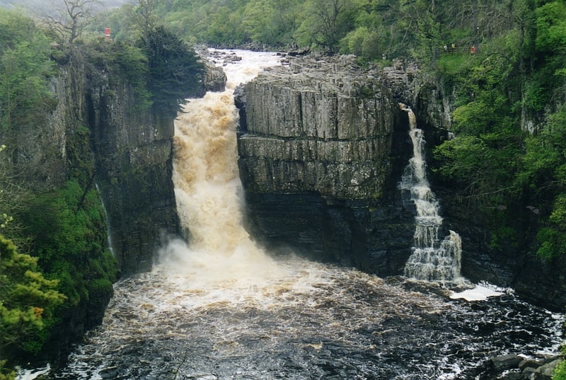
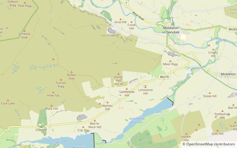
Selset Reservoir is a reservoir in County Durham, England. It is situated in Lunedale which is a side valley of the River Tees, about 5 miles west of Middleton-in-Teesdale. It supplies water for Teesdale and is owned by Northumbrian Water. It was built in 1960 and its main use is sailing. ()
Elevation: 1037 ft a.s.l.Coordinates: 54°35'8"N, 2°8'24"W
Day trips