King's Cave, Machrie
Map

Map

Facts and practical information
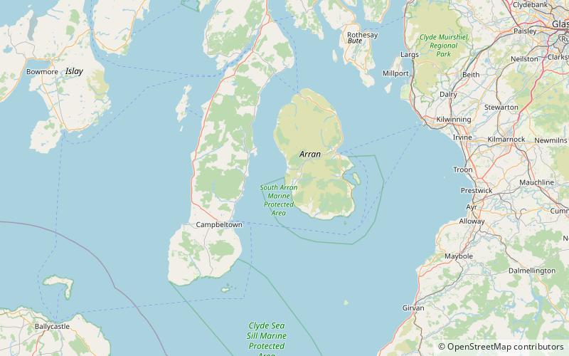
King's Cave is the largest of a series of seafront caves north of Blackwaterfoot on the Isle of Arran in Scotland. The caves were formed when melting glaciers resulted in a raised beach due to a process called isostatic rebound. Kilmory Parish church records suggest the cave may have been used for church meetings in the eighteenth century, and it is also said to have been used as a school. Before being known as the King's Cave it was known as Fingal's Cave after Fionn mac Cumhaill. ()
Elevation: 33 ft a.s.l.Coordinates: 55°31'31"N, 5°21'12"W
Address
Machrie
ContactAdd
Social media
Add
Day trips
King's Cave – popular in the area (distance from the attraction)
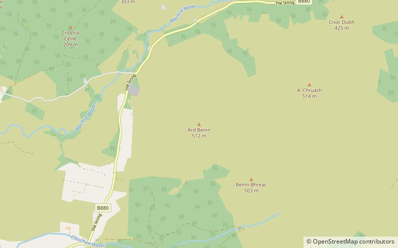
Nearby attractions include: Machrie Moor Stone Circles, Moss Farm Road Stone Circle, Airds Castle, Àrd Bheinn.


