Torr a'Chaisteal, Isle of Arran
Map

Map

Facts and practical information
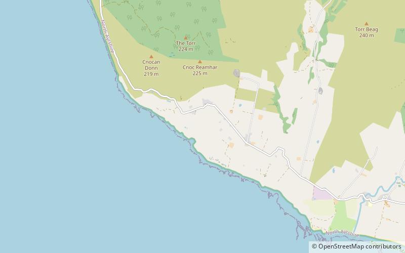
Torr a'Chaisteal is an Iron Age fort, located about 1 mile northeast of the village of Sliddery, on the Isle of Arran in Scotland. ()
Coordinates: 55°27'32"N, 5°17'19"W
Address
Isle of Arran
ContactAdd
Social media
Add
Day trips
Torr a'Chaisteal – popular in the area (distance from the attraction)
Nearby attractions include: King's Cave, Torrylin Cairn, Tighvein, Carn Ban.


