Arran Coastal Way, Isle of Arran
Map

Map

Facts and practical information
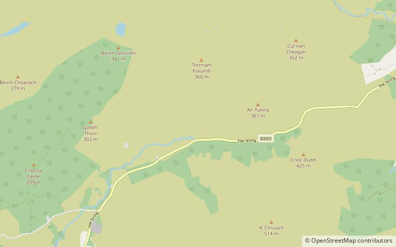
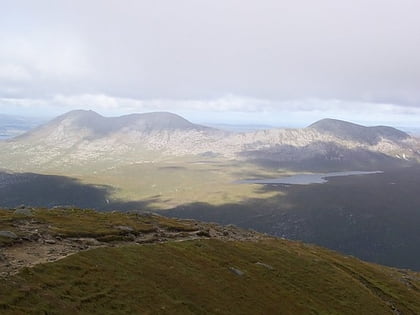
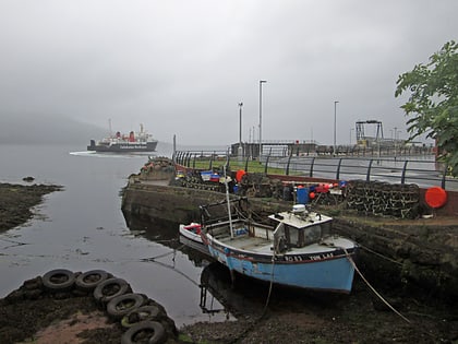
The Arran Coastal Way is a 107 kilometre long-distance trail that goes around the coastline of Arran in Scotland. As the route is circular, following the coastline of the island, it can be started and finished at any location, however in recognition of the fact that most visitors to the island arrive and depart via the Caledonian MacBrayne ferry a start/finish monument is located on the seafront near Brodick ferry terminal. The route is fully waymarked, using marker posts featuring a gannet. ()
Length: 66.49 miCoordinates: 55°34'22"N, 5°14'45"W
Day trips
Arran Coastal Way – popular in the area (distance from the attraction)
Nearby attractions include: Brodick Castle, Goat Fell, Machrie Moor Stone Circles, King's Cave.


