Àrd Bheinn, Isle of Arran
#12 among attractions in Isle of Arran

Facts and practical information
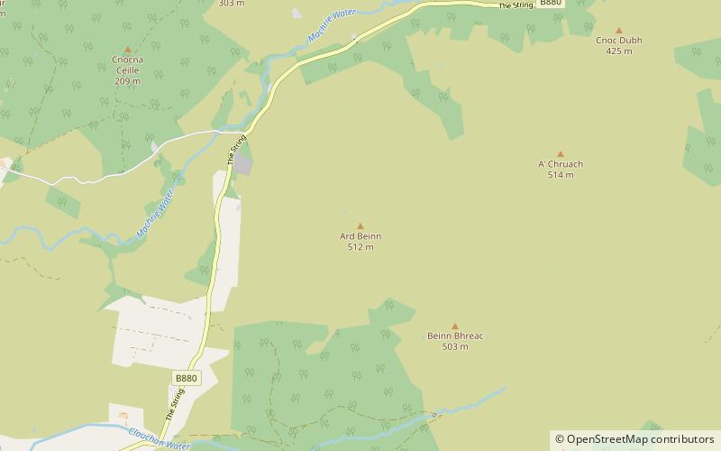
Àrd Bheinn is a small mountain of 1678 feet on central Isle of Arran in western Scotland. ()
Isle of Arran United Kingdom
Àrd Bheinn – popular in the area (distance from the attraction)
Nearby attractions include: Brodick Castle, Goat Fell, Machrie Moor Stone Circles, Eas a' Chrannaig.
 19th-century castle with formal gardens
Brodick Castle, Isle of Arran
137 min walk • Brodick Castle is a castle situated outside the port of Brodick on the Isle of Arran, an island in the Firth of Clyde, Scotland. It was previously a seat of the Dukes of Hamilton, but is now owned by the National Trust for Scotland.
 Island's highest peak for hiking
Goat Fell, Isle of Arran
156 min walk • Goat Fell is the highest point on the Isle of Arran. At 874 metres, it is one of four Corbetts on the island. The mountain, along with nearby Brodick Castle, is now owned by the National Trust for Scotland. The name is believed to mean 'Goat Mountain'.
 Ruins, Archaeological site
Machrie Moor Stone Circles, Machrie
53 min walk • Machrie Moor Stone Circles is the collective name for six stone circles visible on Machrie Moor near the settlement of Machrie on the Isle of Arran, Scotland.
 Natural attraction, Park, Waterfall
Eas a' Chrannaig, Lamlash
182 min walk • Eas a' Chrannaig also known as the Glenashdale Falls is a waterfall on the island of Arran, Scotland. There are a series of falls on the Glenashdale Burn, which flows from moorland near the summit of Tighvein eastwards towards Whiting Bay, from which there is a tourist trail leading some 4 kilometres up Glenashdale.
 Park, Natural attraction, Cave
King's Cave, Machrie
101 min walk • King's Cave is the largest of a series of seafront caves north of Blackwaterfoot on the Isle of Arran in Scotland. The caves were formed when melting glaciers resulted in a raised beach due to a process called isostatic rebound.
 Archaeological site
Moss Farm Road Stone Circle, Machrie
71 min walk • Moss Farm Road Stone Circle is the remains of a Bronze Age burial cairn, surrounded by a circle of stones. It is located near Machrie on the Isle of Arran in Scotland.
 Town
TownBrodick
122 min walk • Brodick is the main village on the Isle of Arran, in the Firth of Clyde, Scotland. It is halfway along the east coast of the island, in Brodick Bay below Goat Fell, the tallest mountain on Arran. The name is derived from the Norse "breda-vick" meaning "Broad Bay".
 Nature, Natural attraction, Mountain
Beinn Tarsuinn, Isle of Arran
136 min walk • Beinn Tarsuinn is a mountain on the Isle of Arran, Scotland. It is the southernmost of the four Corbetts on the island, lying between Glen Rosa to the east and Glen Iorsa to the west.
 Nature, Natural attraction, Mountain
Tighvein, Isle of Arran
120 min walk • Tighvein is a hill above Lamlash on the Isle of Arran in western Scotland. It is a Marilyn and the highest point on the south-eastern section of the island, south-east of the pass of Monambre Glen.
 Archaeological site
Auchagallon Stone Circle, Machrie
85 min walk • Auchagallon Stone Circle or Auchengallon cairn is the remains of a Neolithic or Bronze Age burial cairn, surrounded by a circle of fifteen stones. It is located near Machrie on the Isle of Arran in Scotland.
 Hiking, Hiking trail
Arran Coastal Way, Isle of Arran
50 min walk • The Arran Coastal Way is a 107 kilometre long-distance trail that goes around the coastline of Arran in Scotland.