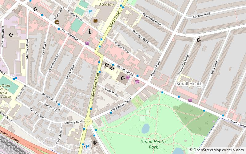
Jami Masjid and Islamic Centre Birmingham, Birmingham

Map
Facts and practical information
The Jami Masjid and Islamic Centre is located in Birmingham, England. It includes a two-hall mosque, with a capacity of 2,000, and a separate building for the Darul Uloom, an Islamic school. ()
Coordinates: 52°28'6"N, 1°51'22"W
Day trips
Jami Masjid and Islamic Centre Birmingham – popular in the area (distance from the attraction)
Nearby attractions include: St Andrew's Stadium, Birmingham Wheels Park, St Cyprian's Church, Tyseley TMD.
Frequently Asked Questions (FAQ)
Which popular attractions are close to Jami Masjid and Islamic Centre Birmingham?
Nearby attractions include As-Salafi Mosque, Birmingham (5 min walk), St Oswald's Church, Birmingham (5 min walk), Ghamkol Shariff Masjid, Birmingham (7 min walk), St Gregory the Great's Church, Birmingham (12 min walk).
How to get to Jami Masjid and Islamic Centre Birmingham by public transport?
The nearest stations to Jami Masjid and Islamic Centre Birmingham:
Train
Bus
Train
- Small Heath (10 min walk)
- Bordesley (25 min walk)
Bus
- Bordesley Green / Victoria St • Lines: 97 (15 min walk)
- Stratford Rd / Ladypool Rd • Lines: 4, 4A, 6 (23 min walk)


