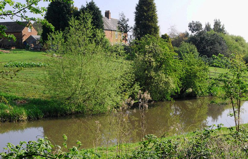
Barrow Camera, Derby

Gallery (2)
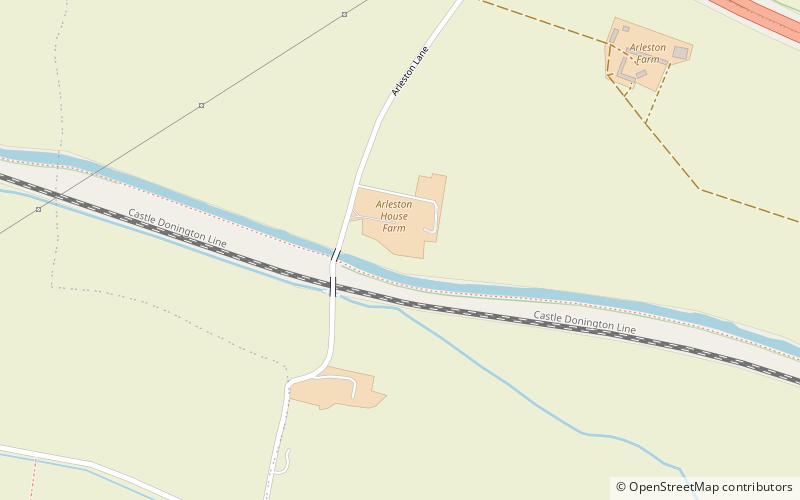
Map
Map
Gallery
Facts and practical information
Barrow Camera was a Knights Hospitaller foundation in the parish of Barrow upon Trent, Derbyshire, England. ()
Coordinates: 52°51'47"N, 1°30'4"W
Address
Derby
ContactAdd
Social media
Add
Getting there by public transportation
Public transportation stops near this location
- Bus
 Bus
Bus
- Calculate routeBeaufort Road 16 min walk
- Calculate routeArleston Lane 16 min walk
- Calculate routeEttrick Drive 17 min walk
- Calculate routeWragley Way 18 min walk
Day trips


Frequently Asked Questions (FAQ)
How to get to Barrow Camera by public transport?
The nearest stations to Barrow Camera:
Bus
Bus
- Beaufort Road • Lines: 38 (16 min walk)
- Arleston Lane • Lines: 38 (16 min walk)