Hythe Pier, Southampton
Map
Gallery
Facts and practical information
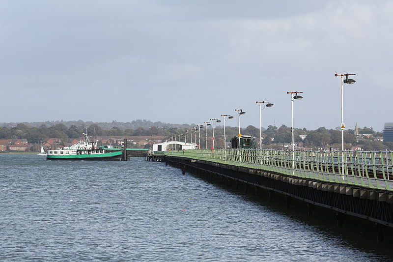
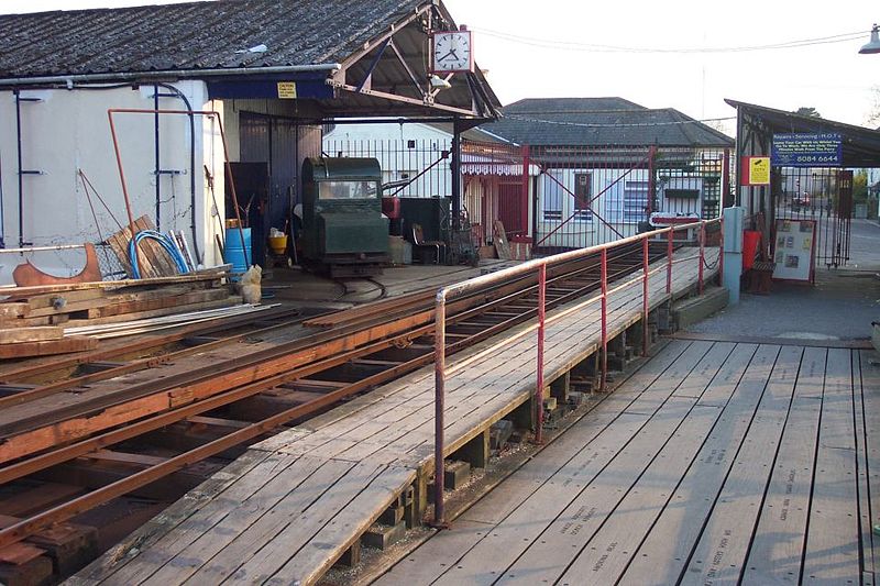
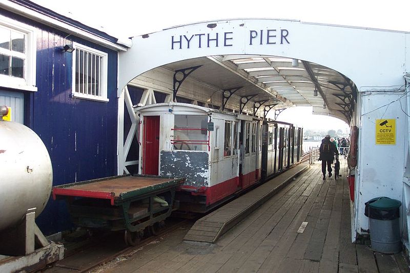
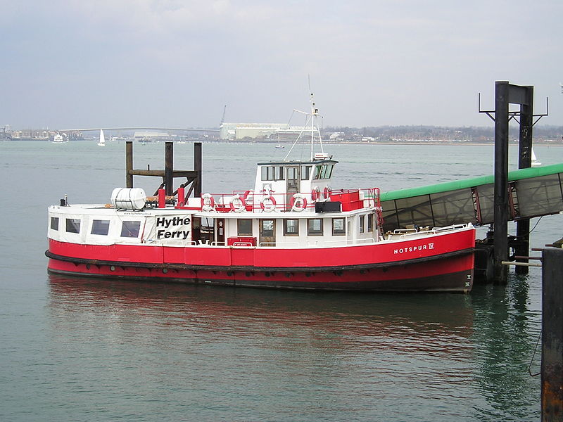
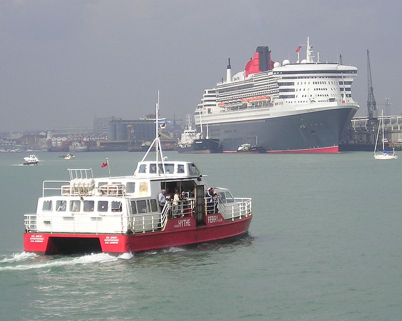
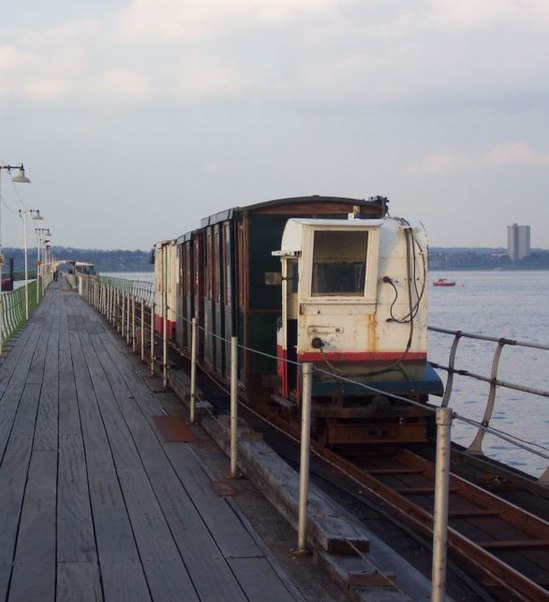
Hythe Pier, the Hythe Pier Railway and the Hythe Ferry provide a link between the English port city of Southampton and the Hampshire village of Hythe on the west side of Southampton Water. It is used both by commuters and tourists, and forms an important link in the Solent Way and E9 European coastal paths. ()
Coordinates: 50°52'29"N, 1°23'37"W
Address
Southampton
ContactAdd
Social media
Add
Day trips
Hythe Pier – popular in the area (distance from the attraction)
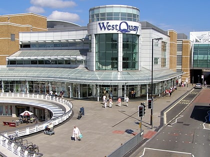
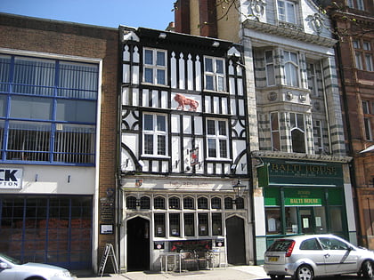
Nearby attractions include: Westquay, Ocean Village, St Mary's Stadium, Red Lion Inn.
Frequently Asked Questions (FAQ)
How to get to Hythe Pier by public transport?
The nearest stations to Hythe Pier:
Train
Bus
Train
- Hythe Pier (1 min walk)
- Hythe Town (10 min walk)
Bus
- Hythe Pier • Lines: 8 (10 min walk)
- The Marsh • Lines: 8 (12 min walk)


