Mayfield Park, Southampton
Map

Map

Facts and practical information
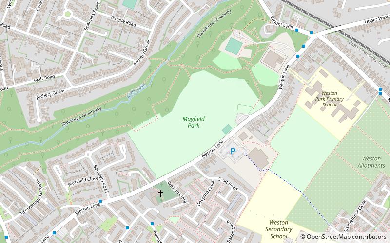
Mayfield Park is a recreational area straddling Woolston and Weston in Southampton, England. The stream that runs through the park is the boundary between the two districts of modern Southampton. ()
Elevation: 79 ft a.s.l.Coordinates: 50°53'30"N, 1°21'51"W
Address
Mayfield Park Weston LaneSouthampton Itchen (Woolston)Southampton SO19 9HL
Contact
+44 23 8083 3605
Social media
Day trips
Mayfield Park – popular in the area (distance from the attraction)
Nearby attractions include: Ocean Village, St Mary's Stadium, Netley Castle, Itchen Bridge.
Frequently Asked Questions (FAQ)
Which popular attractions are close to Mayfield Park?
Nearby attractions include Miller's Pond, Southampton (10 min walk), Weston, Southampton (12 min walk), Woolston, Southampton (14 min walk), Sholing, Southampton (18 min walk).
How to get to Mayfield Park by public transport?
The nearest stations to Mayfield Park:
Train
Train
- Sholing (9 min walk)
- Woolston (19 min walk)


