Chorlton-cum-Hardy, Manchester

Gallery (7)
Map


Map

Gallery
Facts and practical information
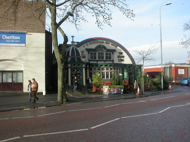
Chorlton-cum-Hardy is a suburban area of Manchester, England, three miles southwest of the city centre. Chorlton ward had a population of 14,138 at the 2011 census, and Chorlton Park 15,147. ()
Address
ChorltonManchester
ContactAdd
Social media
Add
Getting there by public transportation
Public transportation stops near this location
- Bus
- Tram
 Bus
Bus
- Calculate routeChorlton, Barlow Moor Road / Wilbraham Rd 1 min walk
- Calculate routeChorlton 5 min walk
- Calculate routeSt Werburgh's Road 14 min walk
- Calculate routeFirswood 16 min walk
- Calculate routeBarlow Moor Road 19 min walk
Maps MetrolinkMaps
 Metrolink / Rail
MetrolinkMapsMetrolink / RailDay trips


Frequently Asked Questions (FAQ)
Which popular attractions are close to Chorlton-cum-Hardy?
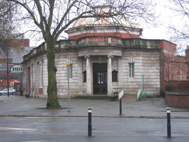
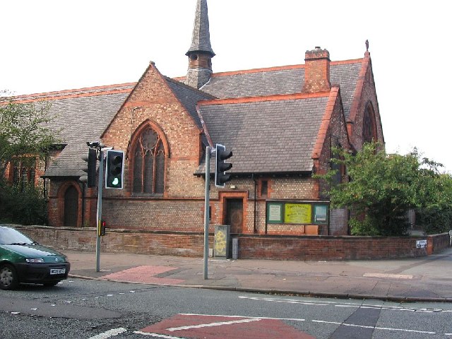
Nearby attractions include Chorlton Poor Law Union, Manchester (6 min walk), St Clement's, Manchester (8 min walk), British Muslim Heritage Centre, Manchester (18 min walk), Firswood, Manchester (18 min walk).
How to get to Chorlton-cum-Hardy by public transport?
The nearest stations to Chorlton-cum-Hardy:
Bus
Tram
Bus
- Chorlton, Barlow Moor Road / Wilbraham Rd • Lines: 23, 25 (1 min walk)
Tram
- Chorlton • Lines: Airp, Dean, EDid, Roch, Shaw, Vict (5 min walk)
- St Werburgh's Road • Lines: Airp, Dean, EDid, Roch, Shaw, Vict (14 min walk)