High Pasture Cave, Isle of Skye
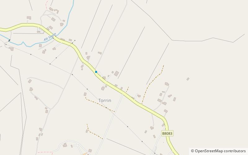
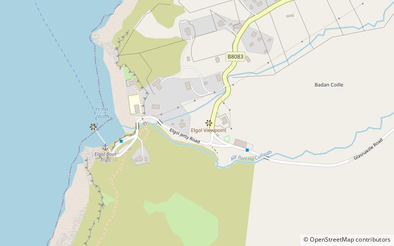
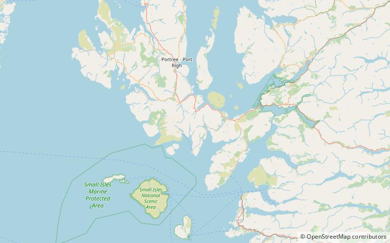
Map

Map

Facts and practical information
High Pasture Cave is an archaeological site on the island of Skye, Scotland. Human presence is documented since the Mesolithic, and remains, including Iron Age structures, point to ritual veneration of either the landscape or deities associated with the place. The cave system extends to about 320 metres of accessible passages ()
Length: 1050 ftCoordinates: 57°12'50"N, 6°0'40"W
Address
Isle of Skye
ContactAdd
Social media
Add
Day trips
High Pasture Cave – popular in the area (distance from the attraction)
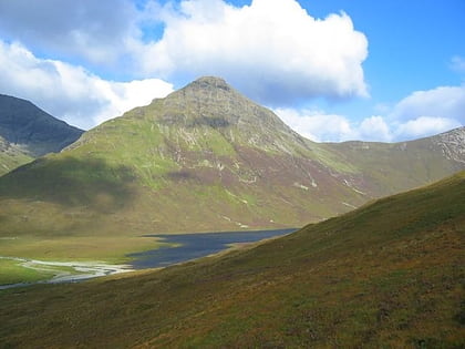
Nearby attractions include: Cill Chriosd, Blà Bheinn, Strathaird, Beinn Dearg Mhor.
Frequently Asked Questions (FAQ)
How to get to High Pasture Cave by public transport?
The nearest stations to High Pasture Cave:
Bus
Bus
- Post Office • Lines: 155, 52 (2 min walk)
- Blaven Bunkhouse • Lines: 52 (11 min walk)


