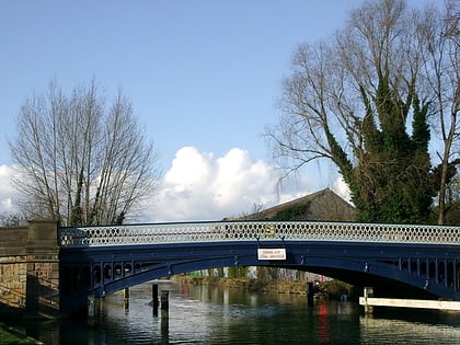
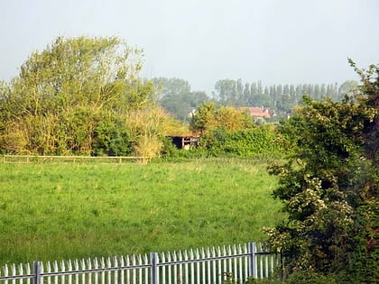
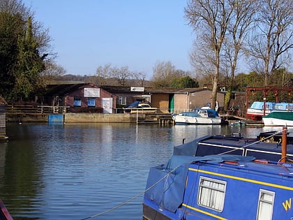
Seacourt, Oxford
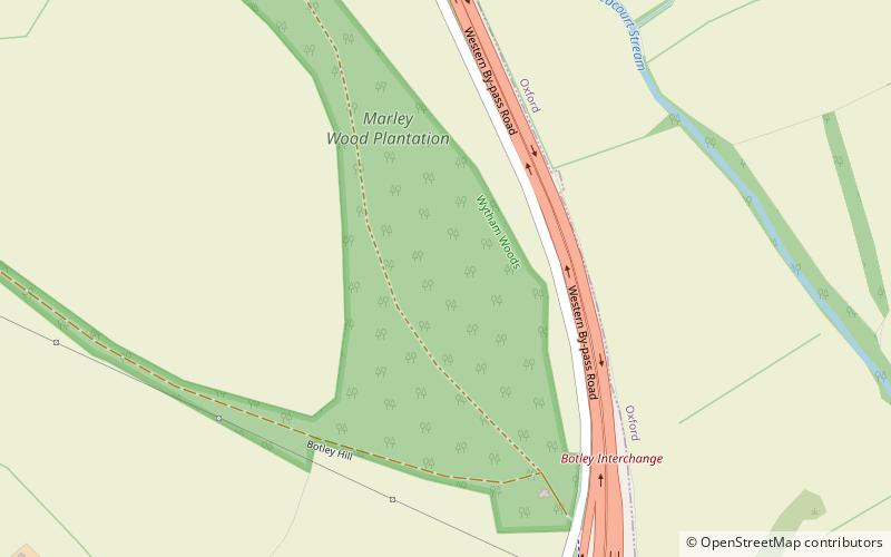
Map
Facts and practical information
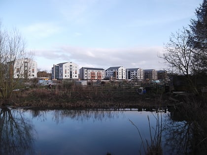
Seacourt is a deserted medieval village near Botley in Oxfordshire. It was part of Berkshire until the 1974 boundary changes transferred it to Oxfordshire. ()
Coordinates: 51°45'40"N, 1°17'56"W
Day trips
Seacourt – popular in the area (distance from the attraction)
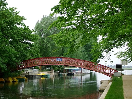
Nearby attractions include: Osney Mill Marina, Godstow, Medley Footbridge, Port Meadow.
Frequently Asked Questions (FAQ)
Which popular attractions are close to Seacourt?
Nearby attractions include Botley Bridge, Oxford (17 min walk), Medley Footbridge, Oxford (21 min walk), Bossoms Boatyard, Oxford (22 min walk), Port Meadow, Oxford (23 min walk).
How to get to Seacourt by public transport?
The nearest stations to Seacourt:
Bus
Bus
- Minns Industrial Estate • Lines: 4, 4A, 4B, 4C, S1, U1 (16 min walk)
- Elms Parade • Lines: 4, 4A, 4B, S1 (17 min walk)


