Tile Hill Wood, Coventry
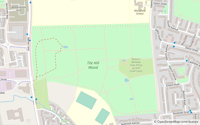
Map
Facts and practical information
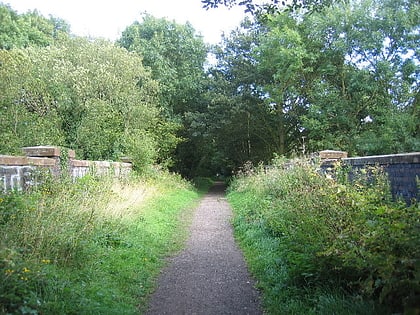
Tile Hill Wood is a wood between Hawthorn Lane and Banner Lane in the Tile Hill area of Coventry, England. It has been designated as a Site of Special Scientific Interest and a Local Nature Reserve. It is stewarded by the Coventry and District Natural History and Scientific Society. It is a mixed deciduous and coniferous woodland covering 69.92 acres, with examples of Norway Spruce, European Larch and Hazel coppice, together with Sycamore, Oak, Spruce, Birch, Chestnut, Ash and Pine. ()
Elevation: 453 ft a.s.l.Coordinates: 52°24'29"N, 1°35'27"W
Address
North West Coventry (Woodlands)Coventry
ContactAdd
Social media
Add
Day trips
Tile Hill Wood – popular in the area (distance from the attraction)
Nearby attractions include: Butts Park Arena, SkyDome Arena, Coventry Way, St Nicholas Church.
Frequently Asked Questions (FAQ)
How to get to Tile Hill Wood by public transport?
The nearest stations to Tile Hill Wood:
Bus
Train
Bus
- Banner Lane / Wickman'S • Lines: 14, 14A, 6A (7 min walk)
- Broad Lane / The Woodlands School • Lines: 6A (9 min walk)
Train
- Tile Hill (24 min walk)


