Cross Hands
#7230 among destinations in the United Kingdom


Facts and practical information
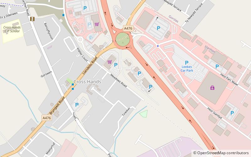
Cross Hands is a village in Carmarthenshire, Wales, approximately 12 miles from Carmarthen. ()
WalesUnited Kingdom
Cross Hands – popular in the area (distance from the attraction)
Nearby attractions include: Dryslwyn Castle, Gelli Aur country park, National Botanic Garden of Wales, Grongar Hill.
 Forts and castles
Dryslwyn Castle, Llandeilo
121 min walk • Dryslwyn Castle is a native Welsh castle, sited on a rocky hill roughly halfway between Llandeilo and Carmarthen in Wales. It stands on high ground overlooking the Tywi Valley with extensive views.
 Park
ParkGelli Aur country park, Llandeilo
122 min walk • Gelli Aur is a country park with 60 acres of wooded parkland surrounding Golden Grove mansion. It was once the home of the Vaughan and Cawdor families.
 Vast horticultural and botanical park
National Botanic Garden of Wales
106 min walk • The National Botanic Garden of Wales is a Botanical Garden located in Llanarthney in the River Tywi valley, Carmarthenshire, Wales.
 Nature, Hill, Natural attraction
Grongar Hill
141 min walk • Grongar Hill is located in the Welsh county of Carmarthenshire and was the subject of a loco-descriptive poem by John Dyer. Published in two versions in 1726, during the Augustan period, its celebration of the individual experience of the landscape makes it a precursor of Romanticism.
 Church, Gothic Revival architecture
All Saints Church, Ammanford
103 min walk • All Saints Church, Ammanford is an Anglican parish church in the town of Ammanford, Carmarthenshire, Wales. It was erected between 1911 and 1915 by W. D. Jenkins of Llandeilo. The tower was added between 1924 and 1926 as a war memorial, this time the architect being Charles Mercer of Swansea.
 Nature, Natural attraction, Mountain
Carreg Dwfn, Brecon Beacons
161 min walk • Carreg Dwfn is a hill four miles southeast of Llandeilo and just to the south of the village of Trap in the county of Carmarthenshire, south Wales. It lies at the western extremity of the Brecon Beacons National Park and Fforest Fawr Geopark. Its summit at 283 metres is towards the eastern end of a rocky east-west-aligned ridge.
 Tower
TowerPaxton's Tower
128 min walk • Paxton's Tower is a Neo-Gothic folly erected in honour of Lord Nelson. It is situated on the top of a hill near Llanarthney in the River Tywi valley in Carmarthenshire, Wales. It is a visitor attraction that can be combined with a visit to the nearby National Botanic Garden of Wales.
 Town
TownPontarddulais
147 min walk • Pontarddulais is both a community and a town in Swansea, Wales. It is 10 miles northwest of the city centre. The Pontarddulais ward is part of the City and County of Swansea. Pontarddulais adjoins the village of Hendy in Carmarthenshire. The built-up population was 9,073.
 Tower
TowerPaxton's Tower
108 min walk • Paxton's Tower is a Neo-Gothic folly erected in honour of Lord Nelson. It is situated on the top of a hill near Llanarthney in the River Tywi valley in Carmarthenshire, Wales. It is a visitor attraction that can be combined with a visit to the nearby National Botanic Garden of Wales.
 Nature, Natural attraction, Lake
Swiss Valley Reservoir
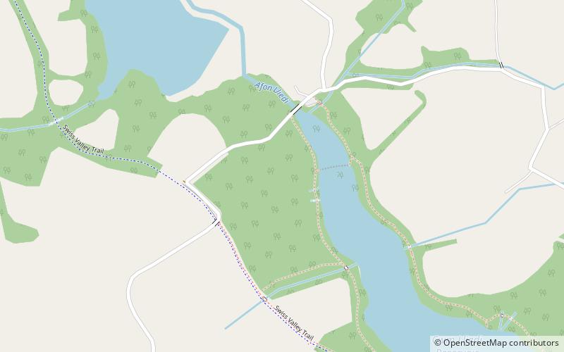
159 min walk • Swiss Valley Reservoir, also known as Upper Lliedi reservoir and Lower Lliedi reservoir, feeds water to the towns of Llanelli and Llannon. It gets the water from the River Lliedi.
 Village
Llandybie
96 min walk • Llandybie is a community which includes a large village of the same name situated 2 miles north of Ammanford in Carmarthenshire, Wales.
