Eorpeburnan, Rye
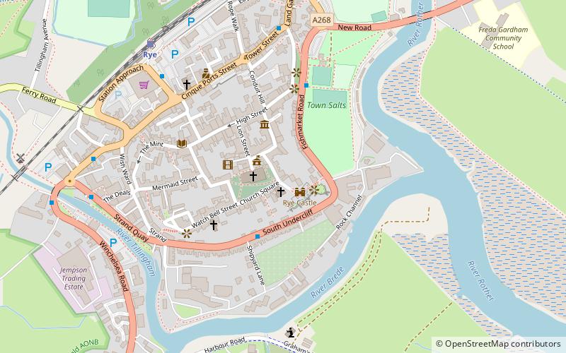
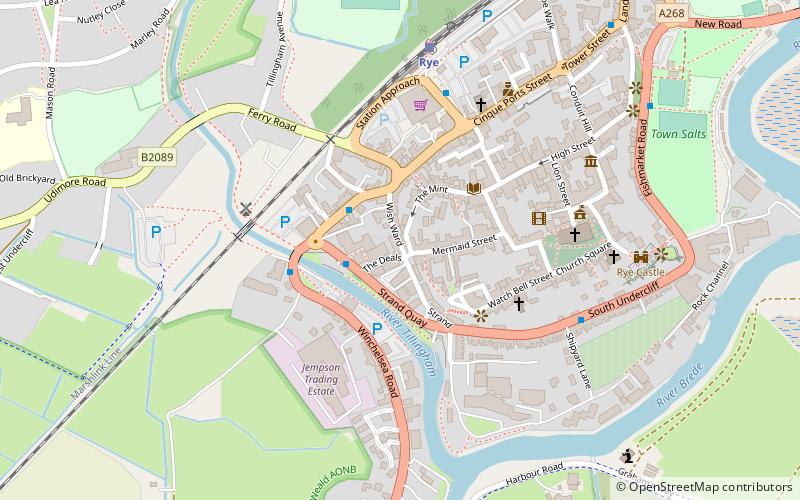
Map
Facts and practical information
Eorpeburnan is the first place identified in the Burghal Hidage, a document created in the late 9th or early 10th century, that provides a list of thirty one fortified places in Wessex. It details the location of fortifications designed to defend the West Saxon kingdom from the Vikings but also the relative size of burghal defences and their garrisons. Eorpeburnan is designated as having a hidage of 324, its precise location is lost in history, but scholars have suggested some possible sites. ()
Coordinates: 50°57'0"N, 0°44'6"E
Address
Rye
ContactAdd
Social media
Add
Day trips
Eorpeburnan – popular in the area (distance from the attraction)
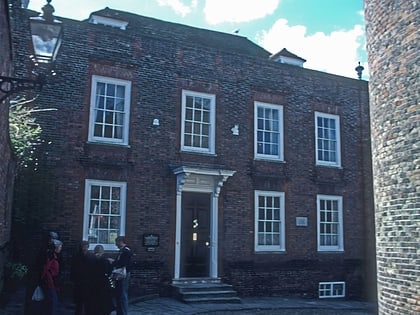
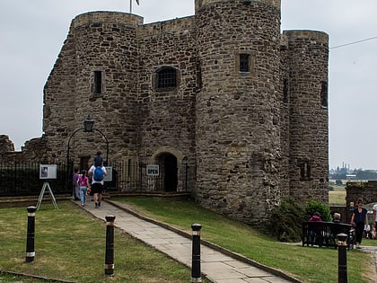
Nearby attractions include: Camber Castle, Lamb House, Sussex Border Path, Rye Castle Museum.
Frequently Asked Questions (FAQ)
Which popular attractions are close to Eorpeburnan?
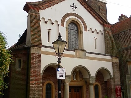
Nearby attractions include Rye Castle Museum, Rye (2 min walk), Purdie Gallery, Rye (3 min walk), Lamb House, Rye (3 min walk), St Anthony of Padua, Rye (3 min walk).
How to get to Eorpeburnan by public transport?
The nearest stations to Eorpeburnan:
Train
Train
- Rye (7 min walk)

