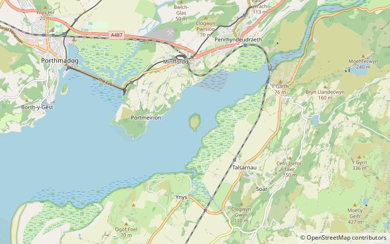
Ynys Gifftan, Snowdonia National Park
Map

Map

Facts and practical information
Ynys Gifftan is an island near the south east shore of Traeth Bach, the Dwyryd estuary near Portmeirion in Gwynedd, north Wales. There is a public footpath to it across the estuary marked on Ordnance Survey maps but has no definable marks that make it obvious; it can be reached on foot at low tide and is 38 metres high. The island has been uninhabited since the mid-1960s and the island's single cottage is in a state of disrepair. It is one of 43 tidal islands which may be reached on foot from the mainland of Great Britain. ()
Coordinates: 52°54'45"N, 4°4'56"W
Address
Snowdonia National Park
ContactAdd
Social media
Add
Day trips
Ynys Gifftan – popular in the area (distance from the attraction)
Nearby attractions include: Harlech Castle, Llŷn Coastal Path, Pont Briwet, Bryn Cader Faner.
Frequently Asked Questions (FAQ)
How to get to Ynys Gifftan by public transport?
The nearest stations to Ynys Gifftan:
Train
Bus
Train
- Talsarnau (21 min walk)
- Minffordd (25 min walk)
Bus
- Penrhyndeudraeth Ysbyty Bron y Garth • Lines: T2 (26 min walk)


