Nutscale Reservoir, Exmoor National Park
Map

Map

Facts and practical information
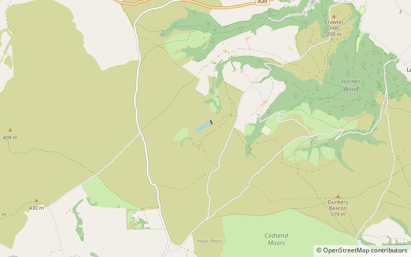
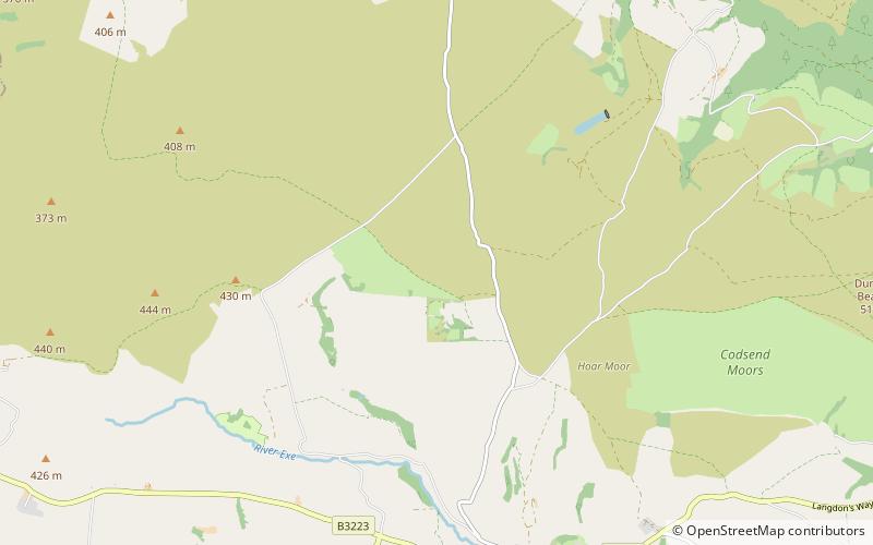
Nutscale Reservoir is a reservoir located in Exmoor in north west Somerset, England. It supplies the town of Minehead and nearby Porlock and Porlock Weir. The reservoir is part of the River Horner catchment area, and is dammed. Nutscale Reservoir is fed by Nutscale Water and water is piped to the Porlock Treatment Works, supplying around 3,000 cubic metres per day, and to six other farms and camp sites. ()
Built: 1942 (84 years ago)Elevation: 1043 ft a.s.l.Coordinates: 51°10'37"N, 3°37'52"W
Address
Exmoor National Park
ContactAdd
Social media
Add
Day trips
Nutscale Reservoir – popular in the area (distance from the attraction)
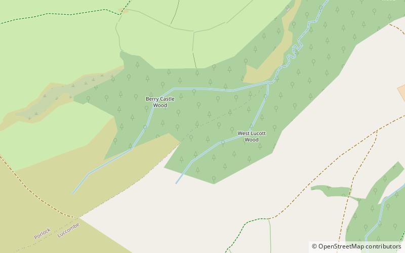
Nearby attractions include: Stoke Pero Church, Porlock Stone Circle, Almsworthy Common, Berry Castle.


