Almsworthy Common, Exmoor National Park
#38 among attractions in Exmoor National Park

Facts and practical information
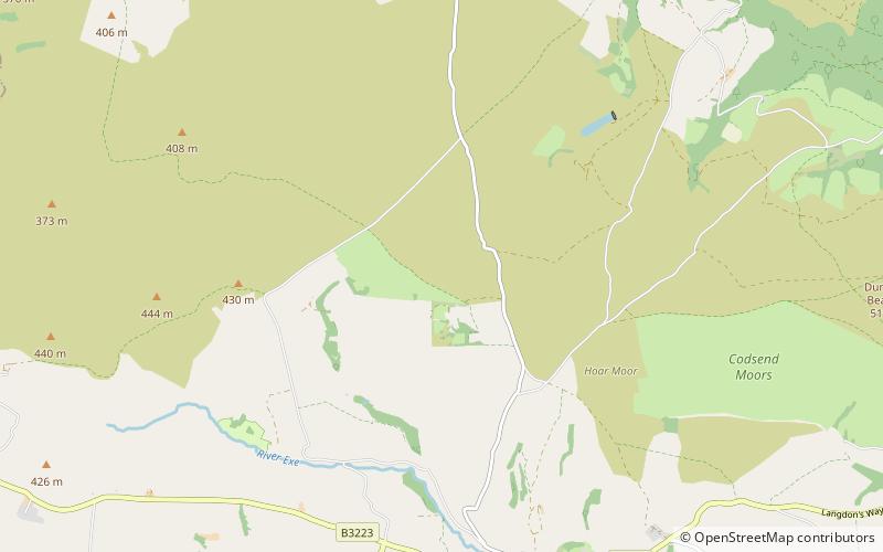
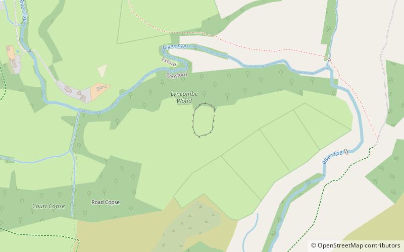
Almsworthy Common is a small area of unenclosed land in Exmoor, south-western England. It contains a number of archaeological sites. ()
Exmoor National Park United Kingdom
Almsworthy Common – popular in the area (distance from the attraction)
Nearby attractions include: Coleridge Way, Dunkery Hill, Culbone Church, Church of St Dubricius.
 Hiking, Hiking trail
Coleridge Way, Porlock
118 min walk • The Coleridge Way is a 51-mile footpath in Somerset and Devon, England. It was opened in April 2005, and the route links several sites associated with the poet Samuel Taylor Coleridge starting from Coleridge Cottage at Nether Stowey.
 Archaeological site
Dunkery Hill, Porlock
77 min walk • Dunkery Beacon at the summit of Dunkery Hill is the highest point on Exmoor and in Somerset, England. It is also the highest point in southern England outside of Dartmoor.
 Church
Culbone Church, Exmoor National Park
104 min walk • Culbone Church, located in the village of Culbone in Somerset, is said to be the smallest parish church in England. The church, dedicated to the Welsh saint Beuno, has been designated by English Heritage as a Grade I listed building and the churchyard cross is Grade II*.
 Church
Church of St Dubricius, Porlock
105 min walk • The Church of St Dubricius in Porlock, Somerset, England dates from the 13th century. The church has been designated by English Heritage as a Grade I listed building. The dedication is to Dubricius, a 6th-century Briton ecclesiastic venerated as a saint and may indicate he travelled to the area.
 Church
Stoke Pero Church, Exmoor National Park
63 min walk • Stoke Pero Church in Stoke Pero, Somerset, England was built in the 13th century. It is a Grade II* listed building. Standing 1013 feet above sea level, it is the highest church on Exmoor.
 Bridge
Landacre Bridge, Exmoor National Park
98 min walk • Landacre Bridge carries Landacre Lane across the River Barle near Withypool on Exmoor in the English county of Somerset. It has been scheduled as an ancient monument and Grade II* listed building.
 Bridge
Robber's Bridge, Exmoor National Park
84 min walk • Robber's Bridge, or Robbers Bridge, is an old masonry arch bridge in the royal forest of Exmoor near Doone Valley, carrying the minor road from Porlock Hill to Oare. It crosses Weir Water and is located down a steep, wooded lane beneath overhanging trees.
 Forts and castles
Road Castle, Exmoor National Park
73 min walk • Road Castle is an Iron Age bank and ditch in the West Somerset district of Somerset, England. The hill fort is situated approximately 2 miles west from the village of Winsford.
 Forts and castles
Cow Castle, Exmoor National Park
104 min walk • Cow Castle is an Iron Age hillfort 5.75 kilometres West South West of Exford, Somerset, England within the Exmoor National Park. It is a Scheduled Monument. It has been added to the heritage at Risk register because of the risk from bracken.
 Church
Church of St Andrew, Exmoor National Park
97 min walk • The Anglican Church of St Andrew in Withypool, Somerset, England was built in late medieval period. It is a Grade II* listed building.
 Bridge
Withypool Bridge, Exmoor National Park
99 min walk • The Withypool Bridge is an arch bridge that carries a small road over the River Barle at Withypool in Somerset, England. It is a Grade II* listed building. The red sandstone bridge was built in the 19th century.