Rainham Marshes Nature Reserve, London
Map

Gallery

Facts and practical information
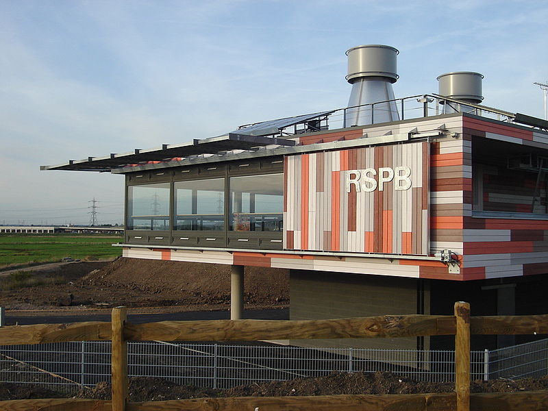
Rainham Marshes is an RSPB nature reserve in the east of London, adjacent to the Thames Estuary in Purfleet, Thurrock and the London Borough of Havering. In 2000, the area of land was bought from the Ministry of Defence, who used it as a test firing range. With no activity for several years, the nature reserve was officially opened to the public in 2006. It has maintained much of its medieval landscape, and is the largest area of wetland on the upper parts of the Thames Estuary. ()
Elevation: 7 ft a.s.l.Coordinates: 51°30'3"N, 0°12'18"E
Address
Havering (Rainham and Wennington)London
ContactAdd
Social media
Add
Day trips
Rainham Marshes Nature Reserve – popular in the area (distance from the attraction)
Nearby attractions include: London Outer Orbital Path, Church of St Helen and St Giles, Rainham Hall, The Diver.
Frequently Asked Questions (FAQ)
How to get to Rainham Marshes Nature Reserve by public transport?
The nearest stations to Rainham Marshes Nature Reserve:
Bus
Train
Bus
- Kent View • Lines: 372 (15 min walk)
- East Hall Lane • Lines: 372 (16 min walk)
Train
- Rainham (33 min walk)

 Tube
Tube


