Wildspace Conservation Park, London

Map
Facts and practical information
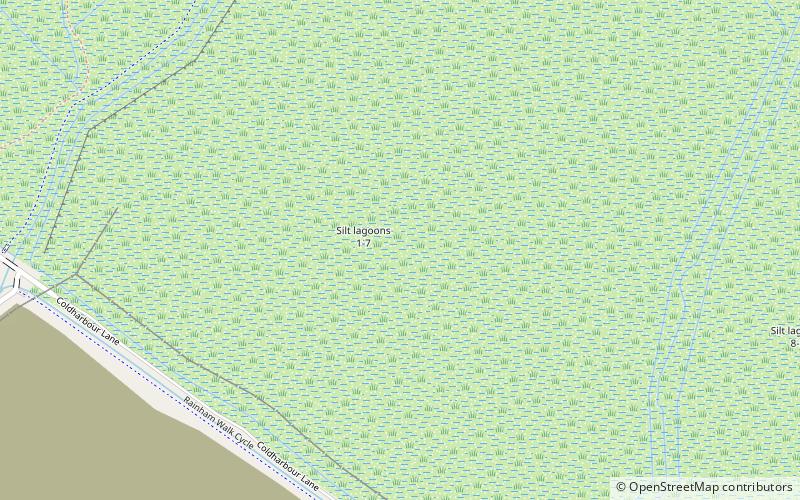
The Wildspace Conservation Park, also known as London Riverside Conservation Park or Wildspace, is a major new conservation park under development. The conservation park is predominantly in London, within the London Borough of Havering, but also extends across the capital's administrative boundary and into Thurrock in Essex. It covers much of the Rainham Marshes near to Rainham and Wennington and its area is 645 hectares. ()
Created: 2006Elevation: 16 ft a.s.l.Coordinates: 51°30'10"N, 0°11'42"E
Address
Havering (Rainham and Wennington)London
ContactAdd
Social media
Add
Day trips
Wildspace Conservation Park – popular in the area (distance from the attraction)
Nearby attractions include: Church of St Helen and St Giles, Rainham Hall, The Diver, Rainham Marshes Nature Reserve.
Frequently Asked Questions (FAQ)
Which popular attractions are close to Wildspace Conservation Park?
Nearby attractions include Rainham Marshes Nature Reserve, London (12 min walk), The Diver, London (17 min walk), Coldharbour, London (22 min walk).
How to get to Wildspace Conservation Park by public transport?
The nearest stations to Wildspace Conservation Park:
Bus
Train
Bus
- East Hall Lane • Lines: 372 (20 min walk)
- Eastwood Drive • Lines: 372 (20 min walk)
Train
- Rainham (25 min walk)
 Tube
Tube


