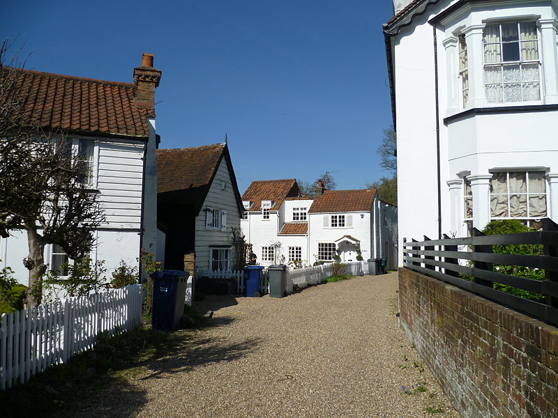
Monken Hadley, London
Map

Gallery

Facts and practical information
Monken Hadley is a place in the London Borough of Barnet. An ancient country village north of Barnet, it is now a suburban development on the very edge of Greater London 11 miles north north-west of Charing Cross, while retaining much of its rural character. ()
Coordinates: 51°39'45"N, 0°11'56"W
Address
Barnet (High Barnet)London
ContactAdd
Social media
Add
Day trips
Monken Hadley – popular in the area (distance from the attraction)
Nearby attractions include: The Spires Shopping Centre, Dyrham Park Country Club, Christ Church Barnet, Old Court House Recreation Ground.
Frequently Asked Questions (FAQ)
Which popular attractions are close to Monken Hadley?
Nearby attractions include Christ Church Barnet, Monken Hadley Common (9 min walk), Barnet Boys School Boer War Memorial, Monken Hadley Common (10 min walk), King George's Fields, London (12 min walk), Barnet Market, London (12 min walk).
How to get to Monken Hadley by public transport?
The nearest stations to Monken Hadley:
Bus
Metro
Train
Bus
- Dury Road • Lines: 399, 626, 84 (1 min walk)
- Hadley Highstone • Lines: 626, 84 (5 min walk)
Metro
- High Barnet • Lines: Northern (22 min walk)
Train
- Hadley Wood (28 min walk)
- New Barnet (39 min walk)

 Tube
Tube


