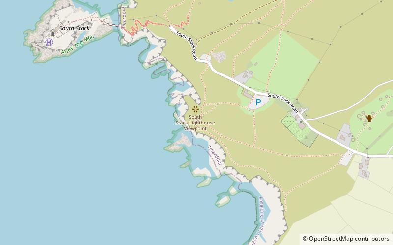
Elin's Tower, Holy Island
Map

Map

Facts and practical information
Elin's Tower is a Victorian stone tower on Holy Island, located around 2+1⁄2 miles west of Holyhead. The castellated folly, which was originally used as a summer house, was built between 1820 and 1850 for the notable Stanley family from Penrhos. It is named after Elin, the Welsh wife of the 19th-century politician William Owen Stanley. ()
Coordinates: 53°18'16"N, 4°41'36"W
Address
Holy Island
ContactAdd
Social media
Add
Day trips
Elin's Tower – popular in the area (distance from the attraction)
Nearby attractions include: South Stack Lighthouse, Holyhead Mountain, Holyhead Mountain Hut Circles, Caer y Twr.
Frequently Asked Questions (FAQ)
Which popular attractions are close to Elin's Tower?
Nearby attractions include South Stack Lighthouse, South Stack (8 min walk), Holyhead Mountain Hut Circles, Holyhead (8 min walk).


