Holme Moss, Peak District
Map

Gallery

Facts and practical information
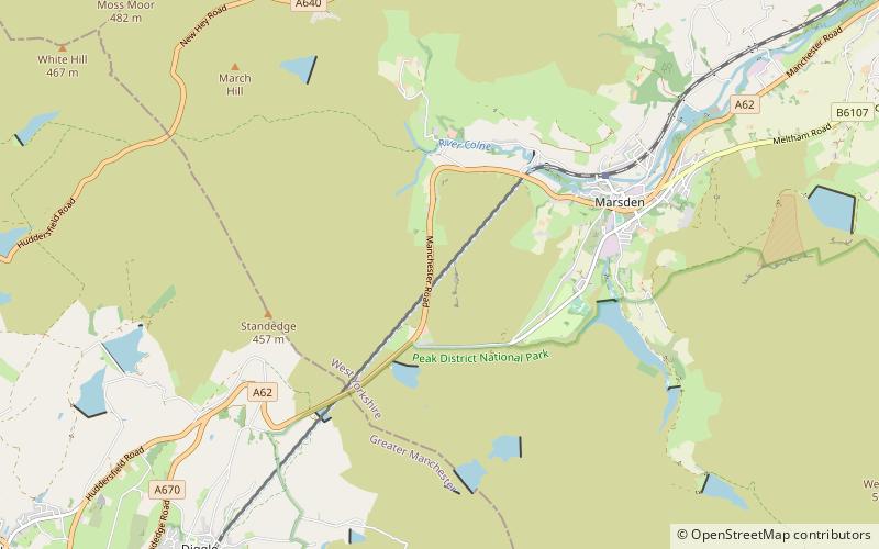
Holme Moss is high moorland on the border between the Holme Valley district of Kirklees in West Yorkshire and the High Peak district of Derbyshire in England. Historically on the boundary between the West Riding of Yorkshire and Cheshire, it is just inside the boundary of the Peak District National Park. The A6024 road between Holmfirth and Longdendale crosses the moor near its highest point close to Holme Moss transmitting station's prominent mast. ()
Elevation: 1719 ftCoordinates: 53°31'59"N, 1°51'27"W
Address
Holme Valley SouthPeak District
ContactAdd
Social media
Add
Day trips
Holme Moss – popular in the area (distance from the attraction)
Nearby attractions include: Wessenden Head Reservoir, Wessenden Reservoir, Black Hill, Stanza Stones Trail.


