Tavy Bridge, Tamar–Tavy Estuary
Map

Map

Facts and practical information
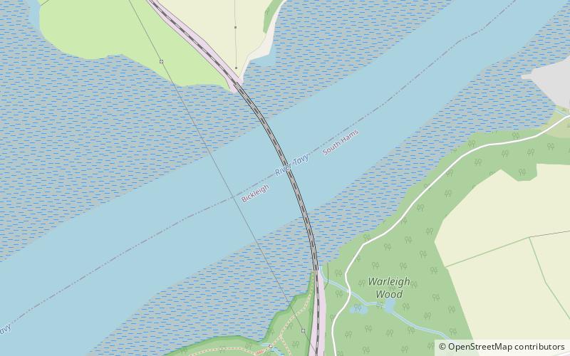
Tavy Bridge is a railway bridge across the mouth of the River Tavy just east of its confluence with the River Tamar. It was built by the Plymouth, Devonport and South Western Junction Railway, and the Tavy Bridge was constructed to carry the track over the Tavy Estuary and the adjoining mudflats. The bridge is a Grade II listed building, with both ends being listed separately. ()
Length: 1486 ftWidth: 33 ftCoordinates: 50°25'57"N, 4°11'1"W
Address
Tamar–Tavy Estuary
ContactAdd
Social media
Add
Day trips
Tavy Bridge – popular in the area (distance from the attraction)
Nearby attractions include: Armada Centre, Royal Albert Bridge, Tamar Bridge, Crownhill Fort.
Frequently Asked Questions (FAQ)
Which popular attractions are close to Tavy Bridge?
Nearby attractions include Warleigh, Plymouth (12 min walk), Warren Point County Wildlife Site, Plymouth (18 min walk).


