Enderby, Leicester
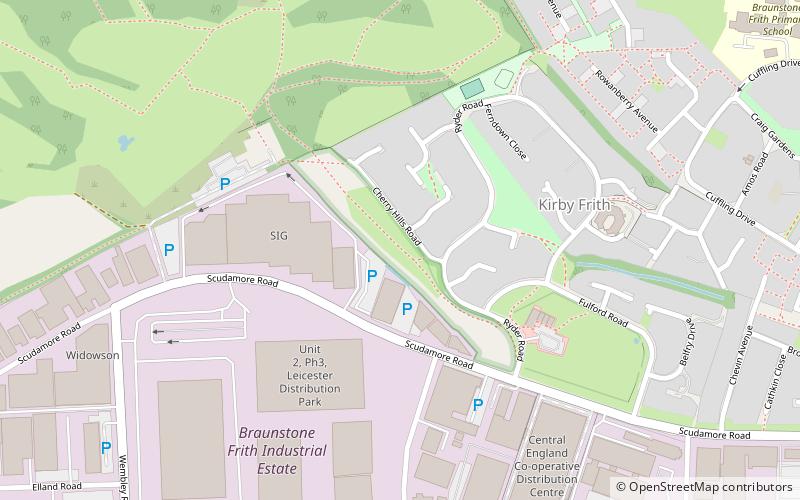
Map

Gallery
Facts and practical information
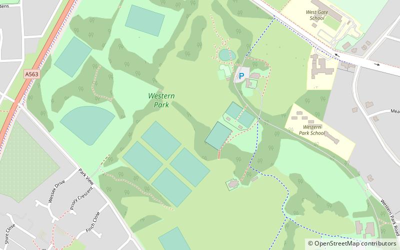
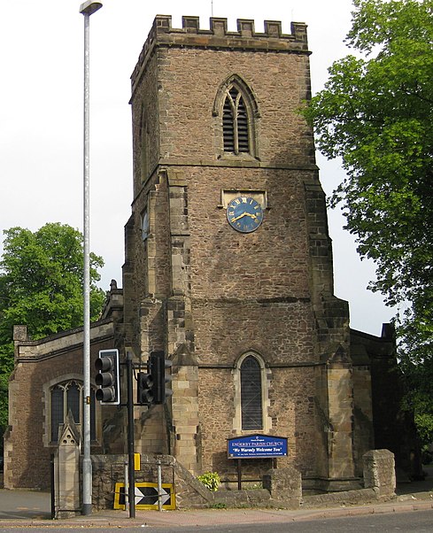
Enderby is a village and civil parish in Leicestershire, on the southwest outskirts of the city of Leicester. The parish includes the neighbourhood of St John's, which is east of the village separated from it by the M1 motorway. The 2011 Census recorded the parish's population as 6,314. ()
Day trips
Enderby – popular in the area (distance from the attraction)
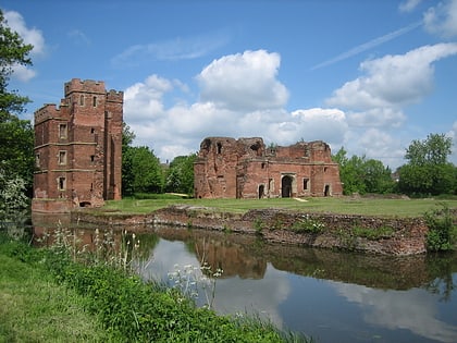
Nearby attractions include: Fosse Shopping Park, Gas Museum, Kirby Muxloe Castle, Aylestone.
Frequently Asked Questions (FAQ)
How to get to Enderby by public transport?
The nearest stations to Enderby:
Train
Bus
Train
- Narborough (29 min walk)
Bus
- Fosse Park • Lines: 104 (37 min walk)
- Millfield Crescent • Lines: 104 (38 min walk)


