All Saints Church, Narborough
#1 among attractions in Narborough


Facts and practical information
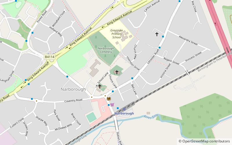
All Saints' Church, Narborough is a parish church in the Church of England in Narborough, Leicestershire. ()
Narborough United Kingdom
All Saints Church – popular in the area (distance from the attraction)
Nearby attractions include: Fosse Shopping Park, Stoney Cove, Gas Museum, Aylestone.
 Shopping, Shopping centre
Fosse Shopping Park, Leicester
51 min walk • Fosse Shopping Park is one of Britain's biggest out-of-town shopping parks and it is situated in Enderby parish, in Blaby district, on the southern edge of the city of Leicester, England.
 Diving, Body of water, Park
Stoney Cove, Stoney Stanton
94 min walk • Stoney Cove is a large flooded quarry which is a popular inland scuba diving site, located between Stoney Stanton and Sapcote in Leicestershire, England.
 Museum, History museum, Specialty museum
Gas Museum, Leicester
101 min walk • The Gas Museum, also known as the National Gas Museum, is situated in the former gatehouse of a gasworks in Leicester, England, and deals with the history of domestic and industrial gas supply.
 Park
ParkAylestone, Leicester
78 min walk • Aylestone is a suburb of Leicester, England, southwest of the city centre and to the east of the River Soar. It was formerly a separate village, but the growth of the city since the Leicester Extension Act of 1891 incorporated Aylestone into the Borough of Leicester and it is now part of the suburban area.
 Park
ParkAylestone Meadows, Leicester
73 min walk • Aylestone Meadows is an 8.8-hectare Local Nature Reserve in Leicester, England, United Kingdom. It is owned and managed by Leicester City Council. It is Leicester's largest nature reserve situated on the floodplains of the River Soar and River Biam along with several locks of the Grand Union Canal.
 Archaeological site
Scheduled monuments in Leicester, Leicester
68 min walk • There are ten scheduled monuments in Leicester. These range from the Roman Jewry Wall and Raw Dykes to the medieval Leicester Castle and the early modern King William's Bridge. Several of the scheduled sites have a wide area protecting more than one feature.
 Town, Area
Wigston, Leicester
101 min walk • Wigston, or Wigston Magna, is a town in Leicestershire, England, just south of Leicester on the A5199. It had a population of 32,321 in 2011.
 Village, Area
Blaby, Leicester
43 min walk • Blaby is a village in the Blaby District in central Leicestershire, England, some five miles south of Leicester city centre. At the time of the 2011 census, Blaby had a population of 6,194, a slight fall from 6,240 in 2001 figures.
 Town, Area
Enderby, Leicester
26 min walk • Enderby is a village and civil parish in Leicestershire, on the southwest outskirts of the city of Leicester. The parish includes the neighbourhood of St John's, which is east of the village separated from it by the M1 motorway.
 52°34'59"N • 1°6'38"W
Wigston framework knitters museum, Leicester
101 min walk • Museum, Specialty museum
 Church
St Thomas' Church, Leicester
74 min walk • St Thomas’ Church, South Wigston is a Grade II* listed parish church in the Church of England in South Wigston, Leicestershire.
