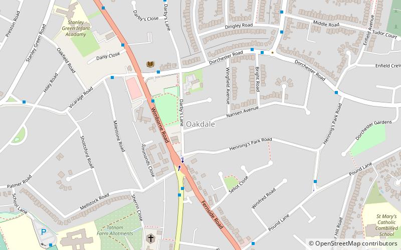
Oakdale, Poole
Map

Map

Facts and practical information
Oakdale is a suburb of Poole in Dorset, England with a population of 10,949, increasing to 11,554 at the 2011 Census and shares boundaries with Creekmoor, Poole Town, Parkstone, Newtown and Canford Heath ()
Coordinates: 50°43'53"N, 1°58'32"W
Address
OakdalePoole
ContactAdd
Social media
Add
Day trips
Oakdale – popular in the area (distance from the attraction)
Nearby attractions include: Dolphin Shopping Centre, St James' Church, Poole Methodist Church, Parkstone Bay Marina.
Frequently Asked Questions (FAQ)
Which popular attractions are close to Oakdale?
Nearby attractions include Longfleet, Poole (14 min walk), Poole Stadium, Poole (17 min walk), St Mary's Church, Poole (18 min walk), Prevail Skatehouse, Poole (20 min walk).
How to get to Oakdale by public transport?
The nearest stations to Oakdale:
Bus
Train
Bus
- Oakdale Community Centre • Lines: 4, 5, 6, 8 (3 min walk)
- New Inn • Lines: 4, 5, 6, 8, 9 (4 min walk)
Train
- Poole Park (23 min walk)
- Poole (24 min walk)


