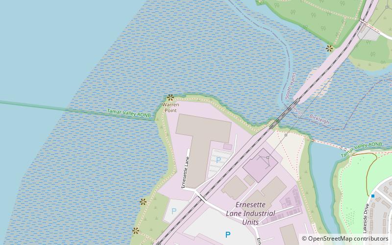
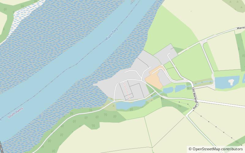
Warren Point County Wildlife Site, Plymouth

Gallery (1)
Map
Map
Facts and practical information
Warren Point County Wildlife Site is a wildlife park owned and managed by the city of Plymouth, Devon, England. Located in an industrial area, northwest of the centre of Plymouth, in the Ernesettle neighbourhood of the city, the 4.4 hectare site features, woodland, grassland, salt marsh and views of the River Tamar. ()
Coordinates: 50°25'26"N, 4°11'28"W
Address
HonicknowlePlymouth
ContactAdd
Social media
Add
Getting there by public transportation
Public transportation stops near this location
- Bus
- Train
 Bus
Bus
- Calculate routeMarrett Road 27 min walk
- Calculate routeRoman Way 28 min walk
- Calculate routeRow Lane 29 min walk
- Calculate routeCrownhill Road Playing Field 29 min walk
- Calculate routeSaltash 36 min walk
Day trips


Frequently Asked Questions (FAQ)
How to get to Warren Point County Wildlife Site by public transport?
The nearest stations to Warren Point County Wildlife Site:
Bus
Train
Bus
- Marrett Road • Lines: 44A (27 min walk)
- Roman Way • Lines: 44A (28 min walk)
Train
- Saltash (36 min walk)