The Island, Egham
Map
Map

Facts and practical information
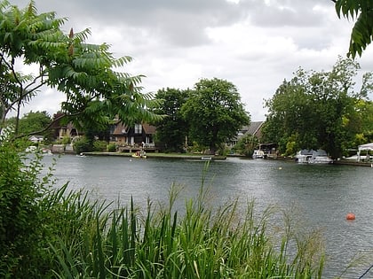
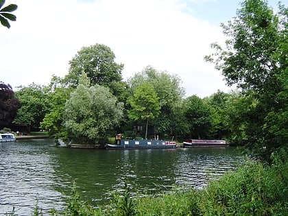
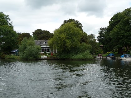
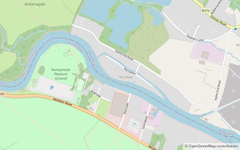
The Island is an inhabited island in the River Thames in England on the reach above Bell Weir Lock, a part of the Hythe End part of Wraysbury village and civil parish, Berkshire. It is connected to that side of the river and although part of Berkshire was, like the village, part of Buckinghamshire before 1974. ()
Coordinates: 51°26'31"N, 0°32'49"W
Address
Egham
ContactAdd
Social media
Add
Day trips
The Island – popular in the area (distance from the attraction)
Nearby attractions include: Runnymede, Founder's Building, Air Forces Memorial, Church of Our Lady of the Assumption.
Frequently Asked Questions (FAQ)
Which popular attractions are close to The Island?
Nearby attractions include Ankerwycke Yew, Egham (12 min walk), Runnymede, Egham (13 min walk), M25 Runnymede Bridge, Egham (16 min walk), Strode's College, Egham (18 min walk).
How to get to The Island by public transport?
The nearest stations to The Island:
Bus
Train
Bus
- The Avenue • Lines: 500, 566, 567, 8A (15 min walk)
- Egham High Street • Lines: 441, 500, 566, 567, 8, 8A (17 min walk)
Train
- Egham (22 min walk)
- Wraysbury (29 min walk)
