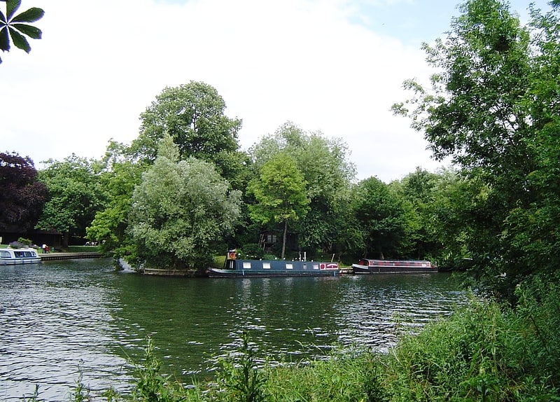
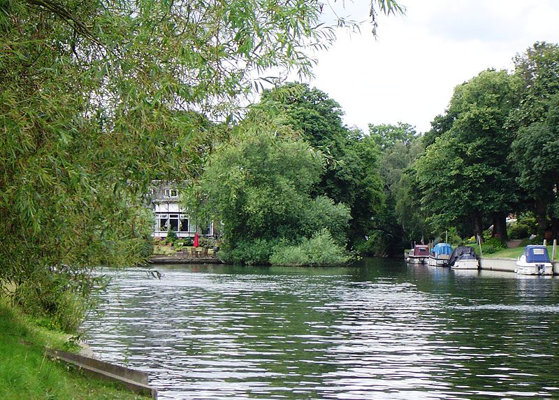
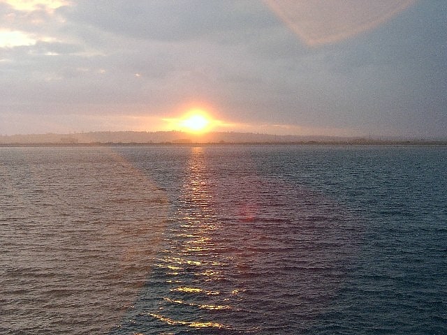
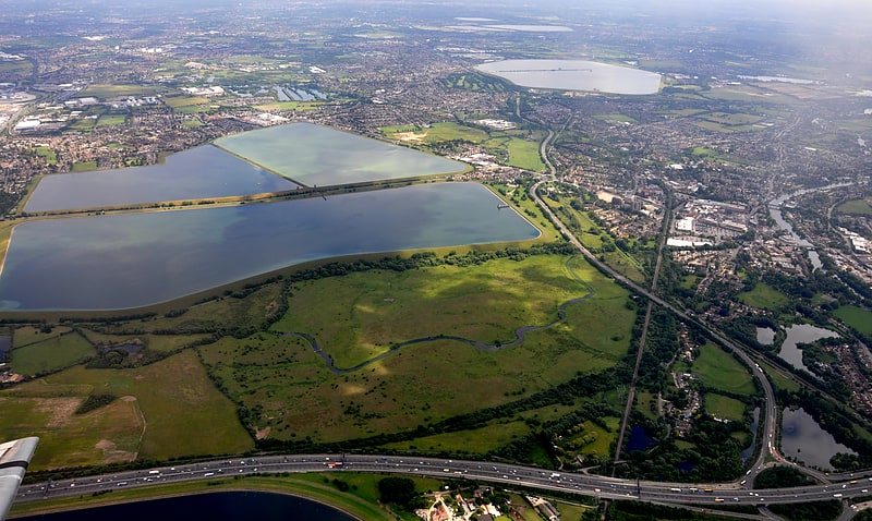
Hollyhock Island, Staines-upon-Thames
Gallery (2)
Map
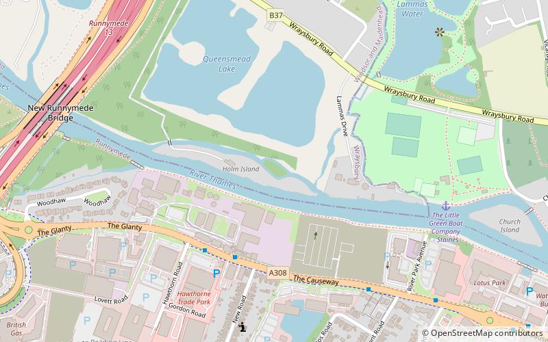
Map
Gallery
Facts and practical information
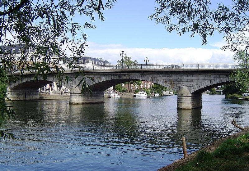
Hollyhock Island is an inhabited island in the River Thames in England on the reach between Bell Weir Lock and Penton Hook Lock. ()
Coordinates: 51°26'10"N, 0°31'40"W
Address
Staines-upon-Thames
ContactAdd
Social media
Add
Getting there by public transportation
Public transportation stops near this location
- Bus
- Train
 Bus
Bus
- Calculate routeHawthorn Road 4 min walk
- Calculate routeClaremont Road 8 min walk
- Calculate routeEgham 24 min walk
- Calculate routeStaines 28 min walk
Day trips


Frequently Asked Questions (FAQ)
Which popular attractions are close to Hollyhock Island?
Nearby attractions include M25 Runnymede Bridge, Egham (9 min walk), Church Island, Staines-upon-Thames (9 min walk), St. Mary's Church, Staines-upon-Thames (10 min walk), Staines Bridge, Staines-upon-Thames (13 min walk).
How to get to Hollyhock Island by public transport?
The nearest stations to Hollyhock Island:
Bus
Train
Bus
- Hawthorn Road • Lines: 500, 566, 567, 8A (4 min walk)
- Claremont Road • Lines: 500, 566, 567, 8A (8 min walk)
Train
- Egham (24 min walk)
- Staines (28 min walk)