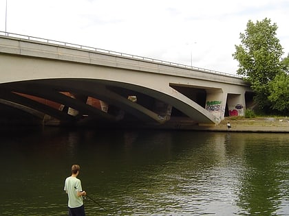
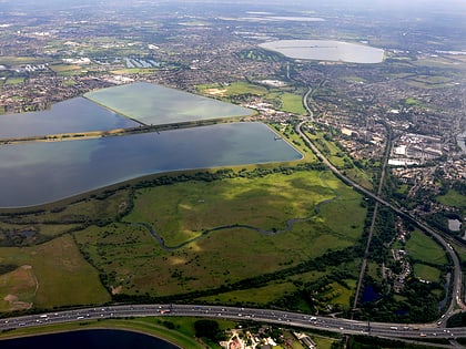
M25 Runnymede Bridge, Egham
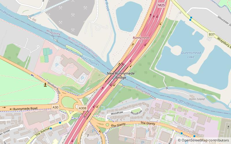
Map
Gallery
Facts and practical information
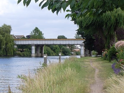
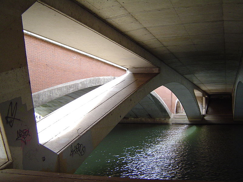
The M25 Runnymede Bridge is a motorway, A-road and pedestrian and cycle bridge, built in the 1960s and 1980s and expanded in the 2000s, carrying the M25 and A30 across the River Thames near the uppermost end of the Staines upon Thames and Egham reach of the river. It is oriented north–south and is southwest of Heathrow Airport. It consists of the Runnymede Bridge and the New Runnymede Bridge; commonly referred to as one bridge. ()
Height: 23 ftCoordinates: 51°26'15"N, 0°32'5"W
Address
Egham
ContactAdd
Social media
Add
Day trips
M25 Runnymede Bridge – popular in the area (distance from the attraction)
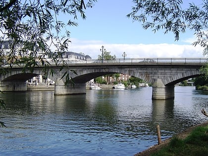
Nearby attractions include: Runnymede, St. Mary's Church, Staines Bridge, Ankerwycke Yew.
Frequently Asked Questions (FAQ)
Which popular attractions are close to M25 Runnymede Bridge?
Nearby attractions include Hollyhock Island, Staines-upon-Thames (9 min walk), St John's Church, Egham (14 min walk), The Island, Egham (16 min walk), Church Island, Staines-upon-Thames (17 min walk).
How to get to M25 Runnymede Bridge by public transport?
The nearest stations to M25 Runnymede Bridge:
Bus
Train
Bus
- The Avenue • Lines: 500, 566, 567, 8A (7 min walk)
- Hawthorn Road • Lines: 500, 566, 567, 8A (9 min walk)
Train
- Egham (20 min walk)
