Church Island, Staines-upon-Thames
Gallery (1)
Map
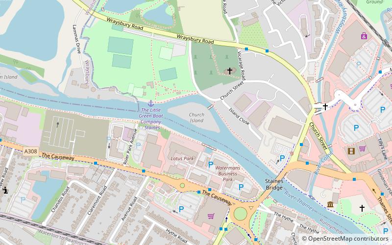
Map
Facts and practical information
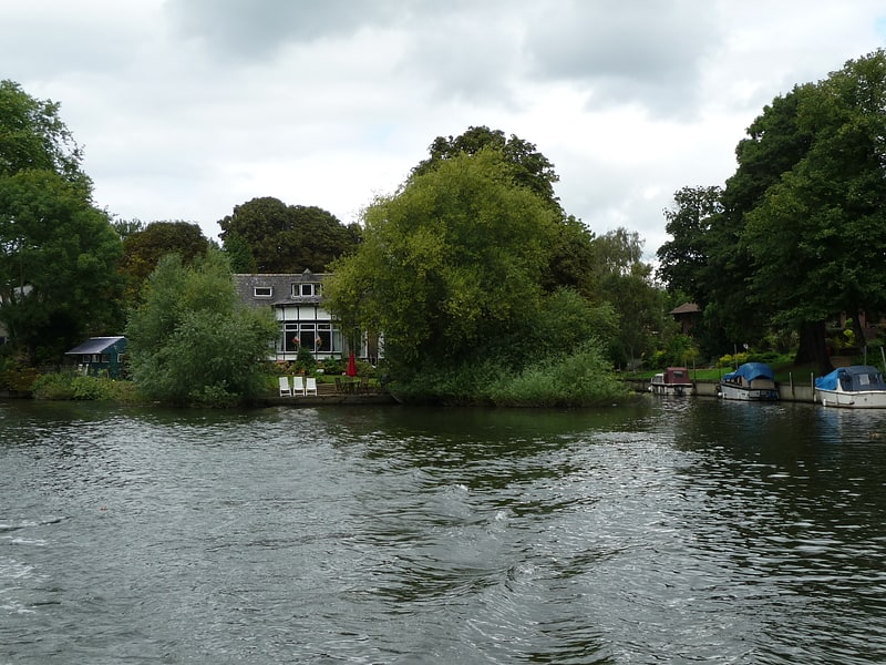
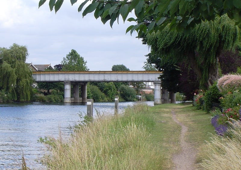
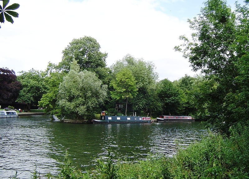
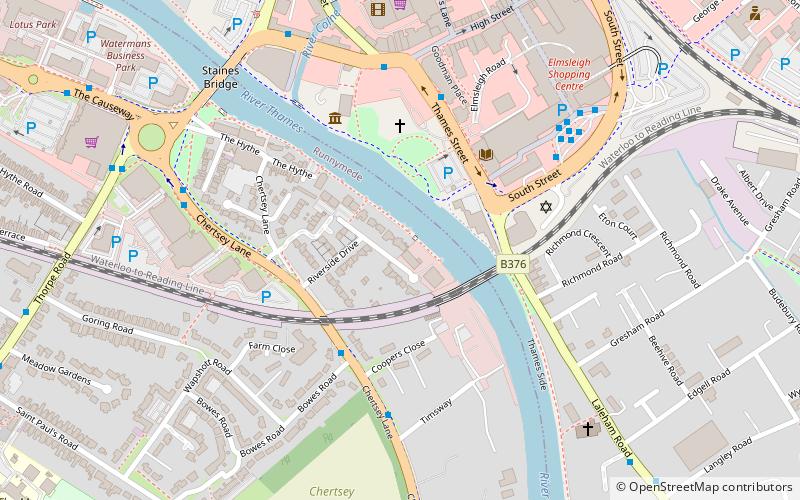
Church Island or Church Eyot is an inhabited island in the River Thames in England on the reach above Penton Hook Lock in Staines-upon-Thames, Spelthorne, Surrey. It is in the upper part of the reach. It is approximately 200 m above Staines Bridge, but is thought by some historians to have been the site of the Roman bridges across the Thames recorded as a waypoint on the Devil's Highway between Londinium and Calleva. ()
Coordinates: 51°26'6"N, 0°31'13"W
Address
Staines-upon-Thames
ContactAdd
Social media
Add
Getting there by public transportation
Public transportation stops near this location
- Bus
- Train
 Bus
Bus
- Calculate routeSainsbury's 4 min walk
- Calculate routeClaremont Road 6 min walk
- Calculate routeStaines 20 min walk
- Calculate routeEgham 31 min walk
Day trips


Frequently Asked Questions (FAQ)
Which popular attractions are close to Church Island?
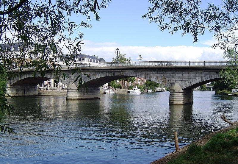
Nearby attractions include St. Mary's Church, Staines-upon-Thames (3 min walk), Staines Bridge, Staines-upon-Thames (5 min walk), Hollyhock Island, Staines-upon-Thames (9 min walk), Staines Railway Bridge, Staines-upon-Thames (13 min walk).
How to get to Church Island by public transport?
The nearest stations to Church Island:
Bus
Train
Bus
- Sainsbury's • Lines: 500, 566, 567, 570, 8A (4 min walk)
- Claremont Road • Lines: 500, 566, 567, 8A (6 min walk)
Train
- Staines (20 min walk)
- Egham (31 min walk)