Foryd Bay
Map

Map

Facts and practical information
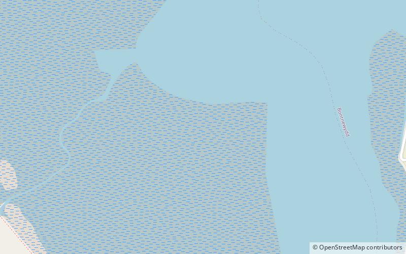
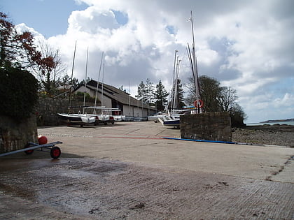
Y Foryd, also known as Foryd Bay, is a tidal bay in Gwynedd, Wales. It is located at the south-western end of the Menai Strait, about two miles south-west of Caernarfon. Several rivers flow into the bay and there are large areas of mudflats and salt marsh. A shingle spit partly blocks the mouth of the bay. At the north-western end is Fort Belan, built during the 18th century. ()
Elevation: 0 ft a.s.l.Coordinates: 53°6'45"N, 4°19'12"W
Location
Wales
ContactAdd
Social media
Add
Best Ways to Experience the Park
Wildlife
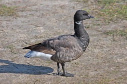
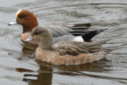
AnimalsSee what popular animal species you can meet in this location.
More
Day trips
Foryd Bay – popular in the area (distance from the attraction)
Nearby attractions include: Caernarfon Castle, GreenWood Forest Park, Castles and Town Walls of King Edward in Gwynedd, Segontium.


