Aston Hall, Shardlow
Map

Map

Facts and practical information
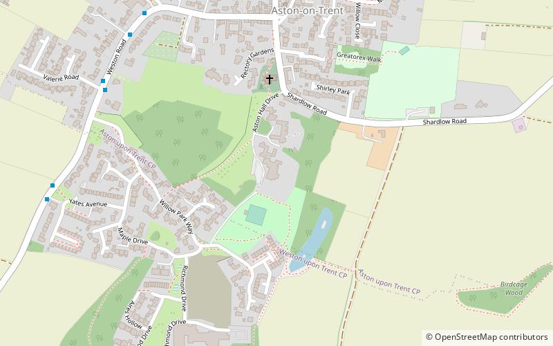
Aston Hall is an 18th-century country house, now converted to residential apartments, at Aston-on-Trent, Derbyshire. It is a Grade II* listed building. ()
Founded: 1930 (96 years ago)Coordinates: 52°51'30"N, 1°23'6"W
Address
Shardlow
ContactAdd
Social media
Add
Day trips
Aston Hall – popular in the area (distance from the attraction)
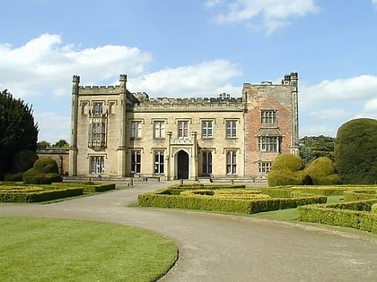
Nearby attractions include: Donington Park, Donnington park, Elvaston Castle, St Michael with St Mary's Church.
Frequently Asked Questions (FAQ)
How to get to Aston Hall by public transport?
The nearest stations to Aston Hall:
Bus
Bus
- Glebe Farm • Lines: SkyLink (32 min walk)
- Cheal Close • Lines: SkyLink (33 min walk)


