Rivelin Rocks, Peak District
Map

Gallery

Facts and practical information
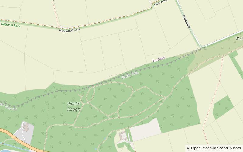
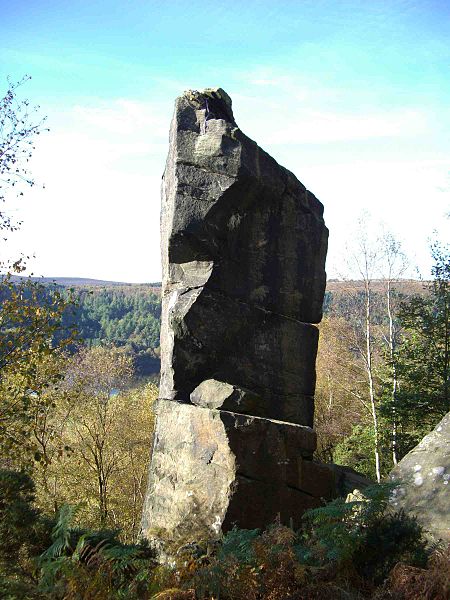
Rivelin Rocks are a gritstone edge or escarpment in the upper Rivelin Valley at grid reference SK279873, 9 kilometres west of Sheffield just off the A57 road in the county of South Yorkshire, England. ()
Coordinates: 53°22'55"N, 1°34'51"W
Address
Peak District
ContactAdd
Social media
Add
Day trips
Rivelin Rocks – popular in the area (distance from the attraction)
Nearby attractions include: Underbank Chapel, Redmires Reservoirs, Revell Grange, Rivelin Dams.
Frequently Asked Questions (FAQ)
Which popular attractions are close to Rivelin Rocks?
Nearby attractions include Rivelin Dams, Sheffield (16 min walk), Revell Grange, Sheffield (21 min walk).
How to get to Rivelin Rocks by public transport?
The nearest stations to Rivelin Rocks:
Bus
Bus
- Manchester Road/Pump House • Lines: 257 (13 min walk)


