Path Head Watermill, Newcastle upon Tyne

Gallery (1)
Map
Map
Facts and practical information
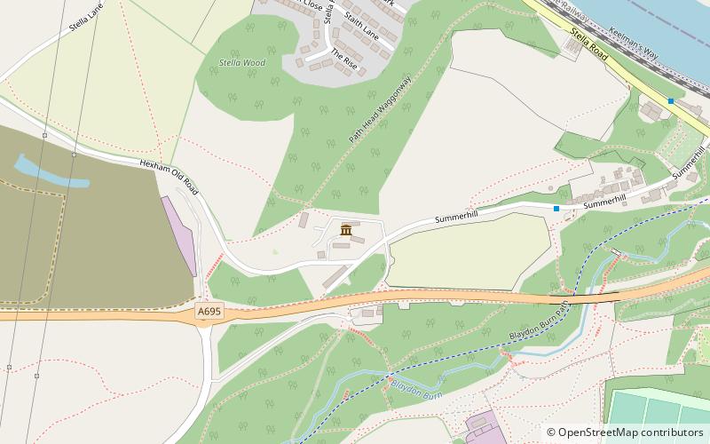
Path Head Mill is an 18th-century water mill situated in Summerhill, Blaydon, Tyne and Wear, England where the Vale Mill Trust has been restoring the site to include a water mill, a joiner's water power workshop and visitor's centre since 1994/95. ()
Coordinates: 54°57'56"N, 1°43'48"W
Getting there by public transportation
Public transportation stops near this location
- Bus
- Train
 Bus
Bus
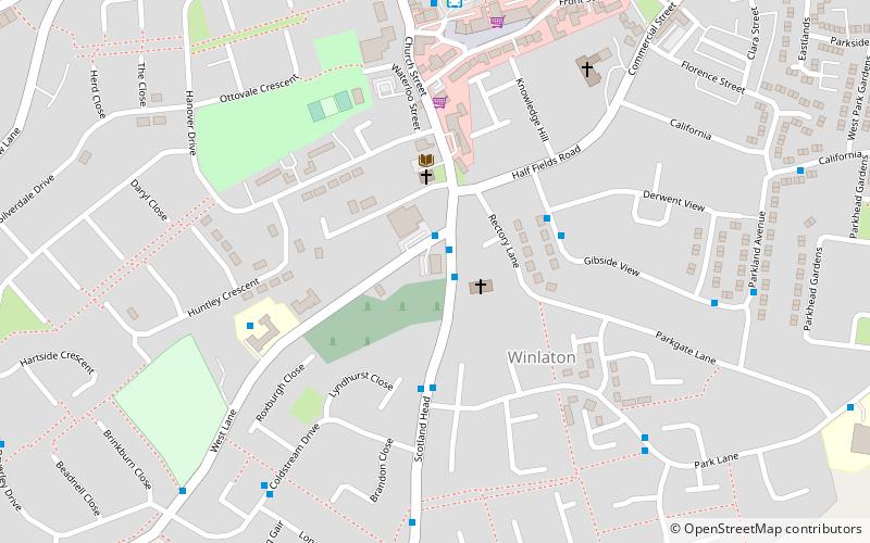
- Calculate routeBlaydon Bus Station 17 min walk
- Calculate routeWinlaton Bus Station 19 min walk
- Calculate routeBlaydon 18 min walk
Day trips


Frequently Asked Questions (FAQ)
How to get to Path Head Watermill by public transport?
The nearest stations to Path Head Watermill:
Bus
Train
Bus
- Blaydon Bus Station (17 min walk)
- Winlaton Bus Station (19 min walk)
Train
- Blaydon (18 min walk)