Blaydon, Newcastle upon Tyne

Gallery (2)
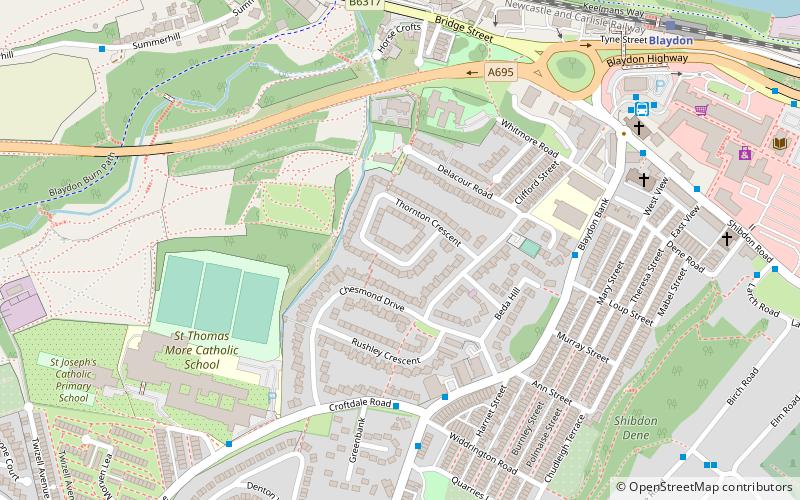
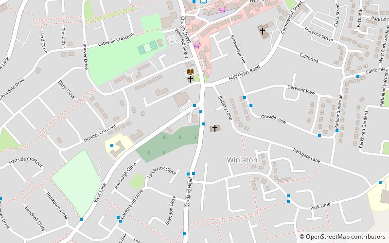
Map
Map
Gallery
Facts and practical information
Blaydon is a town in the Metropolitan Borough of Gateshead, Tyne and Wear, England, and historically in County Durham. Blaydon, and neighbouring Winlaton, which Blaydon is now contiguous with, form the postal town of Blaydon-on-Tyne. The Blaydon/Winlaton resident population in 2011 was 13,896. ()
Address
Newcastle upon Tyne
ContactAdd
Social media
Add
Getting there by public transportation
Public transportation stops near this location
- Bus
- Train
 Bus
Bus
- Calculate routeBlaydon Bus Station 7 min walk
- Calculate routeWinlaton Bus Station 18 min walk
- Calculate routeScotswood 32 min walk
- Calculate routeDenton Road-Bankside Road--N/B 32 min walk
- Calculate routeBlaydon 8 min walk
Day trips


Frequently Asked Questions (FAQ)
Which popular attractions are close to Blaydon?
Nearby attractions include Path Head Watermill, Newcastle upon Tyne (13 min walk), St Paul's Church, Newcastle upon Tyne (23 min walk).
How to get to Blaydon by public transport?
The nearest stations to Blaydon:
Bus
Train
Bus
- Blaydon Bus Station (7 min walk)
- Winlaton Bus Station (18 min walk)
Train
- Blaydon (8 min walk)