Sugley, Newcastle upon Tyne
Map
Facts and practical information
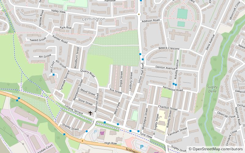
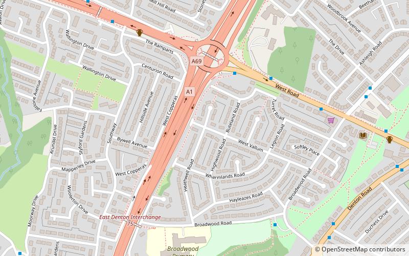
Sugley is an area of Newcastle upon Tyne adjacent to Lemington in North East England: its parish church is Holy Saviour, Sugley. ()
Coordinates: 54°58'43"N, 1°42'47"W
Address
LemingtonNewcastle upon Tyne
ContactAdd
Social media
Add
Getting there by public transportation
Public transportation stops near this location
- Bus
- Train
 Bus
Bus
- Calculate routeDenton Road-Swinley Gardens-N/B 21 min walk
- Calculate routeBlaydon 23 min walk
Day trips


Frequently Asked Questions (FAQ)
Which popular attractions are close to Sugley?
Nearby attractions include Milecastle 8, Hadrian's Wall (18 min walk), Denton Burn, Newcastle upon Tyne (21 min walk), Blaydon Bridge, Newcastle upon Tyne (22 min walk).
How to get to Sugley by public transport?
The nearest stations to Sugley:
Bus
Train
Bus
- Denton Road-Swinley Gardens-N/B • Lines: 1 (21 min walk)
Train
- Blaydon (23 min walk)