Blackdown Rings
Map
![Blackdown Rings location map](https://tzmedia.b-cdn.net/media/images/static-maps/gb/50_3543_-3_80028.jpg)
Gallery
![Blackdown Rings](https://tzmedia.b-cdn.net/media/images/gb/place/gallery/medium/b9ebbd007c3be81602dd8271a1670cff.jpg)
Facts and practical information
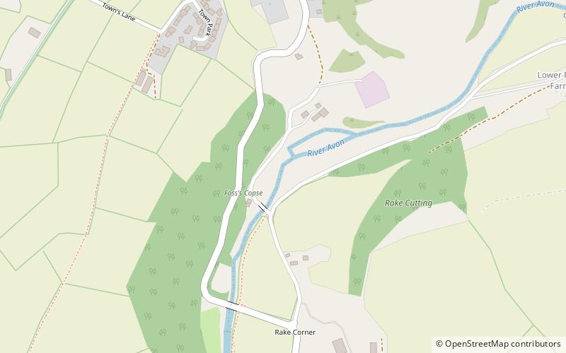
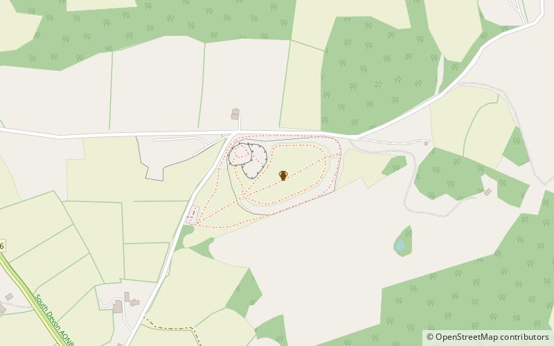
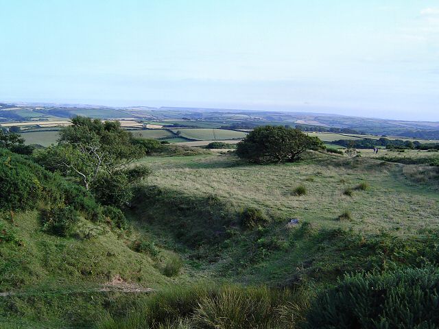
The Blackdown Rings are the earthworks of an Iron Age hill fort near the hamlet of Hazelwood in Devon, England. The fort is situated on a hilltop approximately 185 metres above sea level, in a commanding position above the River Avon. ()
Location
England
ContactAdd
Social media
Add
Day trips
Blackdown Rings – popular in the area (distance from the attraction)
Nearby attractions include: Totnes Castle, St Mary's Church, Totnes Museum, Devonshire Collection of Period Costume.