Spottee's Cave, Sunderland

Gallery (1)
Map
Map
Facts and practical information
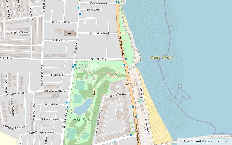
Spottee’s Cave is a cave formed in a limestone-magnesium ravine on the seafront of Roker, North East England, between Sunderland, and Whitburn. ()
Coordinates: 54°55'33"N, 1°22'3"W
Address
Sunderland
ContactAdd
Social media
Add
Getting there by public transportation
Public transportation stops near this location
- Light rail
 Light rail
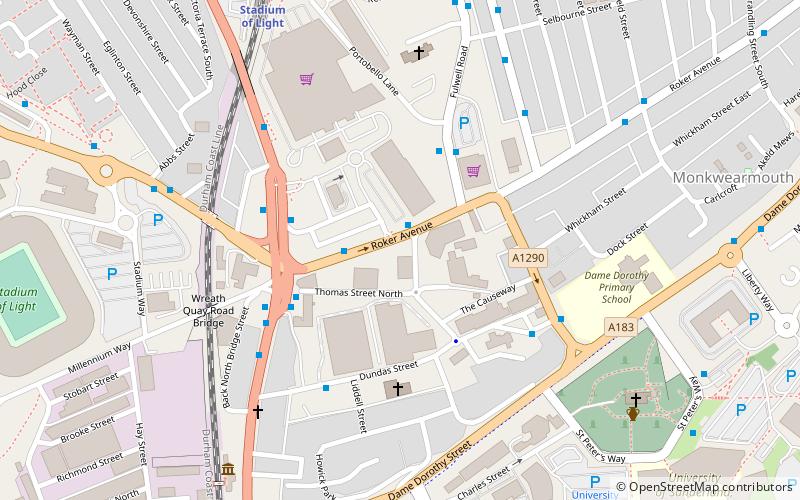
- Calculate routeSeaburn 21 min walk
- Calculate routeStadium of Light 21 min walk
- Calculate routeSt Peter's 31 min walk
Day trips


Frequently Asked Questions (FAQ)
Which popular attractions are close to Spottee's Cave?
Nearby attractions include Roker Park, Sunderland (3 min walk), St Andrew's Church, Sunderland (5 min walk), Sunderland Volunteer Life Brigade - SVLB Search & Rescue, Sunderland (9 min walk), All Saints' Church, Sunderland (23 min walk).
How to get to Spottee's Cave by public transport?
The nearest stations to Spottee's Cave:
Light rail
Light rail
- Seaburn • Lines: Green (21 min walk)
- Stadium of Light • Lines: Green (21 min walk)