Wilford Suspension Bridge, Nottingham
Map
Map

Facts and practical information
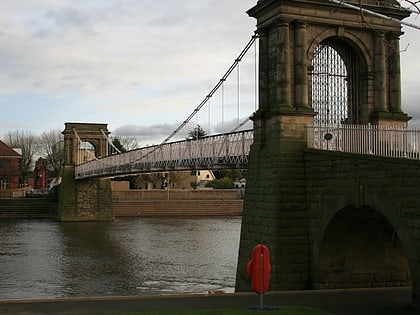
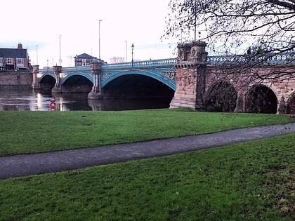
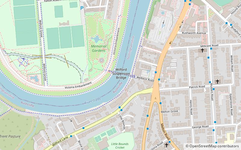
Wilford Suspension Bridge, also known as Meadows Suspension Bridge, was originally known as the Welbeck Suspension Bridge. It is a combined suspension pedestrian footbridge and aqueduct which crosses the River Trent, linking the town of West Bridgford to the Meadows, in the city of Nottingham, England. It also carries a gas main. ()
Opened: 1906 (120 years ago)Width: 12 ftCoordinates: 52°55'60"N, 1°8'21"W
Day trips
Wilford Suspension Bridge – popular in the area (distance from the attraction)
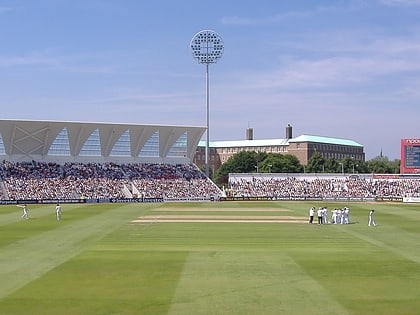
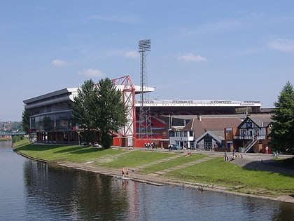
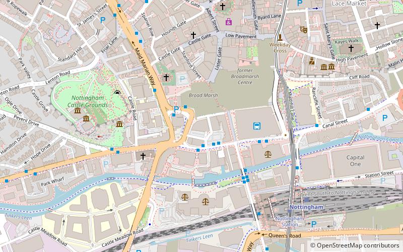
Nearby attractions include: Trent Bridge, intu Broadmarsh, City Ground, Meadow Lane Stadium.
Frequently Asked Questions (FAQ)
Which popular attractions are close to Wilford Suspension Bridge?
Nearby attractions include City War Memorial, Nottingham (3 min walk), Friary United Reformed Church, Nottingham (7 min walk), St Faith's Church, Nottingham (10 min walk), Trent Bridge, Nottingham (10 min walk).
How to get to Wilford Suspension Bridge by public transport?
The nearest stations to Wilford Suspension Bridge:
Bus
Tram
Train
Bus
- Little Bounds • Lines: 1, 2, 3, 4, L1, L23, N4 (3 min walk)
- Loughborough Road • Lines: 1 (3 min walk)
Tram
- Wilford Village • Lines: 2 (18 min walk)
- Meadows Embankment • Lines: 2 (19 min walk)
Train
- Nottingham (26 min walk)
