Wilford, Nottingham
Map
Facts and practical information
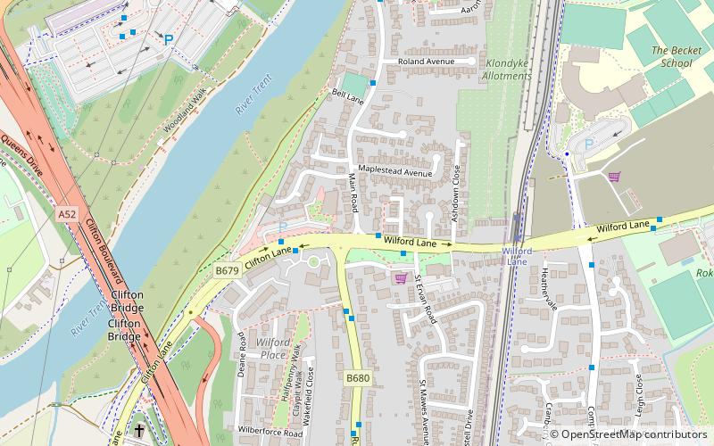
Wilford is a village in the city of Nottingham, Nottinghamshire, England. The village is to the northeast of Clifton, southwest of West Bridgford, northwest of Ruddington and southwest of Nottingham city centre. It is at a meander of the River Trent. ()
Address
Clifton NorthNottingham
ContactAdd
Social media
Add
Getting there by public transportation
Public transportation stops near this location
- Bus
- Tram
 Bus
Bus
- Calculate routeWilford Green 2 min walk
- Calculate routeRoland Avenue 5 min walk
- Calculate routeRoko 8 min walk
- Calculate routeQueens Drive Park & Ride 8 min walk
- Calculate routeWilford Lane 5 min walk
- Calculate routeCompton Acres 13 min walk
- Calculate routeRuddington Lane 20 min walk
Day trips


Frequently Asked Questions (FAQ)
Which popular attractions are close to Wilford?
Nearby attractions include Clifton Bridge, Nottingham (7 min walk), St Wilfrid's Church, Nottingham (16 min walk), Silverdale, Nottingham (19 min walk), Wilford Toll Bridge, Nottingham (22 min walk).
How to get to Wilford by public transport?
The nearest stations to Wilford:
Bus
Tram
Bus
- Wilford Green • Lines: 1, 4, N4 (2 min walk)
- Roland Avenue • Lines: L1 (5 min walk)
Tram
- Wilford Lane • Lines: 2 (5 min walk)
- Compton Acres • Lines: 2 (13 min walk)