Christchurch Harbour, Christchurch
Facts and practical information
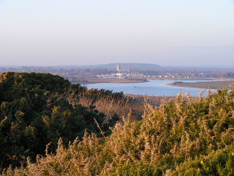
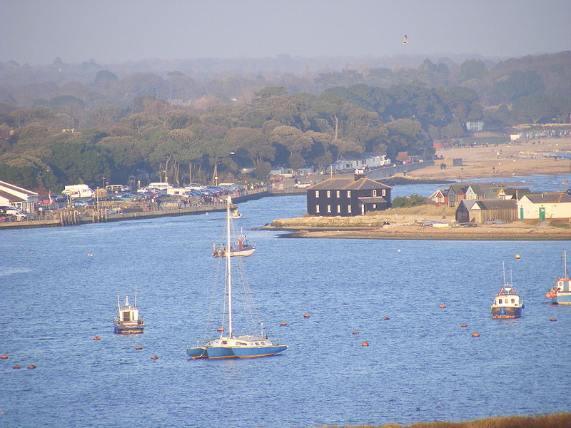
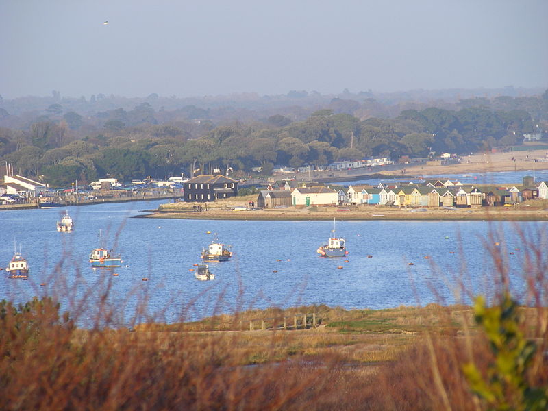
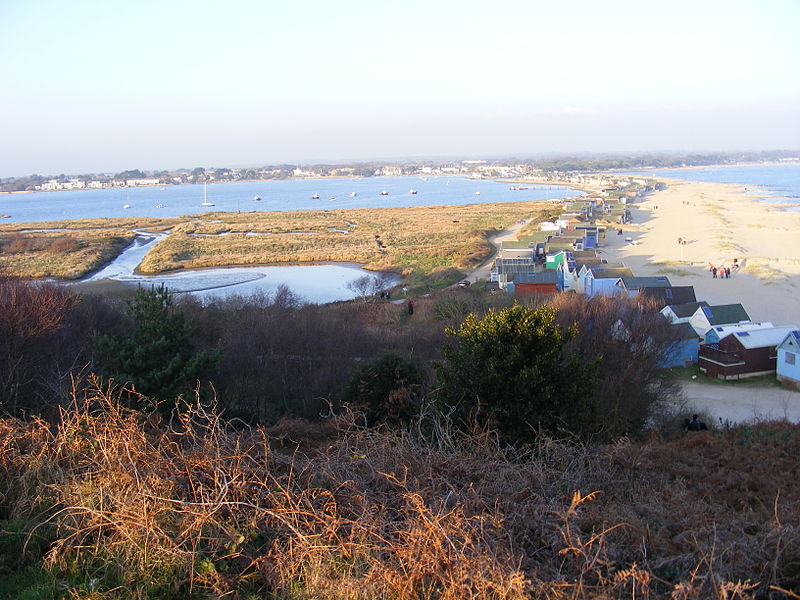
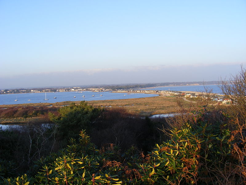
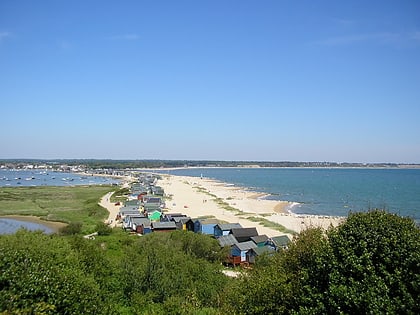
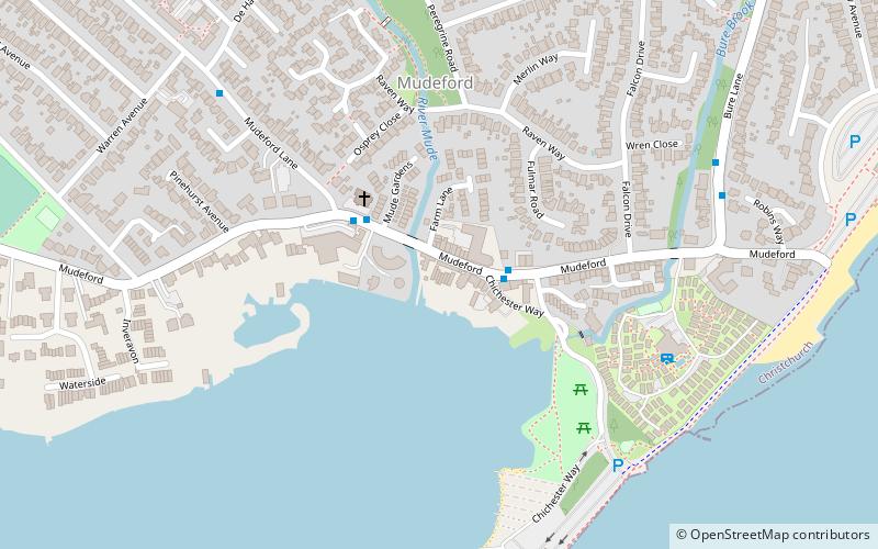
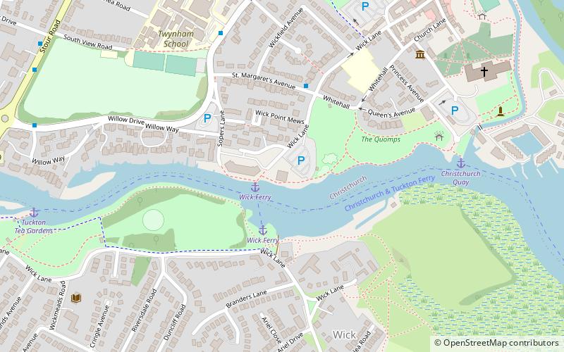
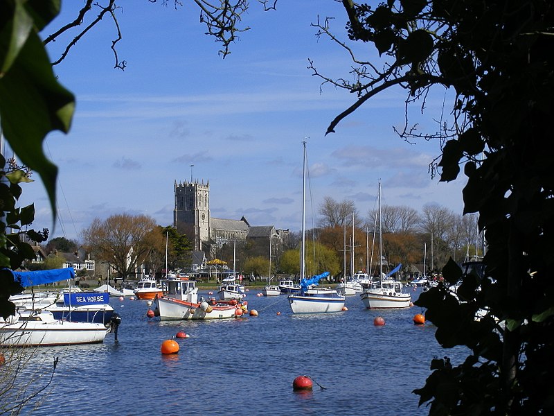
Christchurch Harbour is a natural harbour in the county of Dorset, on the south coast of England named after the nearby town of Christchurch. Two rivers, the Avon and the Stour, flow into the Harbour at its northwest corner. The harbour is generally shallow and due to the tidal harmonics in the English Channel has a double high water on each tide. On the north side of the harbour, east of the Avon are Priory Marsh, and to the east of this Stanpit Marsh, a Local Nature Reserve. To the west side of the harbour are Wick Fields, the southern flank of the harbour being bounded by Hengistbury Head, a prominent coastal headland. The harbour flows into the Christchurch Bay and the English Channel through a narrow channel known locally as The Run which rests between Mudeford Quay and Mudeford Spit. Shallow-draught boats can enter from this channel and cruise up stream for 2 miles choosing either the Avon or the Stour, the Stour leading up as far as Iford Bridge passing Christchurch Quay and Tuckton. ()
Christchurch
Christchurch Harbour – popular in the area (distance from the attraction)
Nearby attractions include: Christchurch Priory, Red House Museum, Hengistbury Head, Christchurch Castle.
Frequently Asked Questions (FAQ)
Which popular attractions are close to Christchurch Harbour?
How to get to Christchurch Harbour by public transport?
Bus
- All Saints Church • Lines: 11, X1, X2 (15 min walk)
- De Haviland Way • Lines: 11, X1, X2 (16 min walk)


