Hengistbury Head, Bournemouth

Gallery (18)
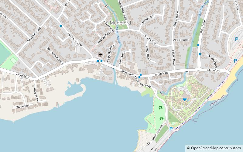
Map

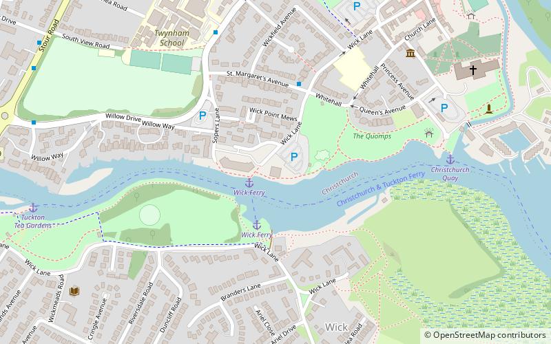
Map

Gallery
Facts and practical information
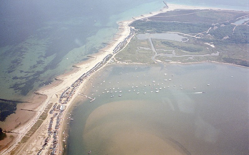
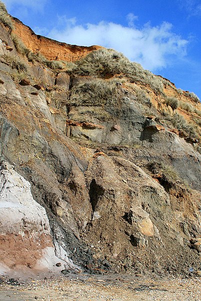
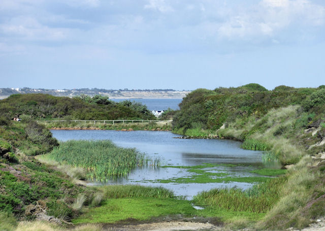
Hengistbury Head, formerly also called Christchurch Head, is a headland jutting into the English Channel between Bournemouth and Mudeford in the English county of Dorset. It is a site of international importance in terms of its archaeology and is scheduled as an Ancient Monument. Declared a Local Nature Reserve in 1990, the head and its surroundings form part of the Christchurch Harbour Site of Special Scientific Interest. It is also a Special Area of Conservation, Special Protection Area, an Environmentally Sensitive Area and a Site of Nature Conservation Interest. The name "Hengistbury Head" refers to the immediate area; the elevated portion is called Warren Hill. ()
Address
East SouthbourneBournemouth
ContactAdd
Social media
Add
Getting there by public transportation
Public transportation stops near this location
- Bus
 Bus
Bus
- Calculate routeHengistbury Head 18 min walk
- Calculate routeAll Saints Church 25 min walk
- Calculate routeMudeford Quay 26 min walk
Day trips


Frequently Asked Questions (FAQ)
Which popular attractions are close to Hengistbury Head?
Nearby attractions include Warren Hill, Christchurch (3 min walk), Withybed Wood, Christchurch (5 min walk), Christchurch Harbour, Christchurch (13 min walk), Hengistbury Head Visitor Centre, Bournemouth (14 min walk).
How to get to Hengistbury Head by public transport?
The nearest stations to Hengistbury Head:
Bus
Bus
- Hengistbury Head • Lines: 11, 12 (18 min walk)
- All Saints Church • Lines: 11, X1, X2 (25 min walk)