Clayton Vale, Manchester
Map

Gallery

Facts and practical information
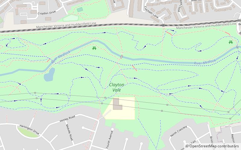
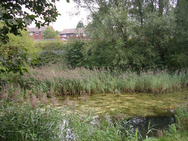
Clayton Vale is an area of green space in Clayton, Manchester, through which the River Medlock flows. Redeveloped in 1986, the land has a rich industrial and social history. Today the area is a natural habitat for wildlife and it has been designated a Local Nature Reserve. ()
Elevation: 236 ft a.s.l.Coordinates: 53°29'27"N, 2°10'34"W
Day trips
Clayton Vale – popular in the area (distance from the attraction)
Nearby attractions include: City of Manchester Stadium, National Cycling Centre, Manchester Velodrome, Fairfield Moravian Church.
Frequently Asked Questions (FAQ)
Which popular attractions are close to Clayton Vale?
Nearby attractions include Clayton Hall, Manchester (14 min walk), St Cross Church, Manchester (15 min walk), Brookdale Park, Manchester (17 min walk), Newton Heath, Manchester (20 min walk).
How to get to Clayton Vale by public transport?
The nearest stations to Clayton Vale:
Bus
Tram
Bus
- Clayton, North Road / opposite Folkestone Road • Lines: 171 (10 min walk)
- Clayton Bridge, NW-bound Assheaton Road • Lines: 171 (10 min walk)
Tram
- Clayton Hall • Lines: Asht, Eccl, Mcuk (16 min walk)
- Edge Lane • Lines: Asht, Eccl, Mcuk (21 min walk)

 Metrolink
 Metrolink / Rail


