Droylsden, Manchester

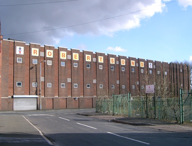
Gallery (3)
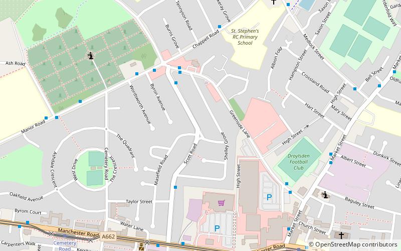
Map
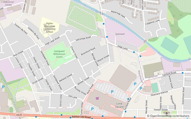
Map
Gallery
Facts and practical information
Droylsden is a town in Tameside, Greater Manchester, England, 4.1 miles east of Manchester city centre and 2.2 miles west of Ashton-under-Lyne, with a population at the 2011 Census of 22,689. ()
Address
Tameside (Droylsden West)Manchester
ContactAdd
Social media
Add
Getting there by public transportation
Public transportation stops near this location
- Bus
- Tram
- Train
 Bus
Bus
- Calculate routeDroylsden 8 min walk
- Calculate routeCemetery Road 8 min walk
- Calculate routeEdge Lane 18 min walk
- Calculate routeAudenshaw 21 min walk
- Calculate routeDroylsden, Ashton Road / Droylsden Metrolink Stop 8 min walk
- Calculate routeFairfield 21 min walk
- Calculate routeGorton 32 min walk
Maps MetrolinkMaps
 Metrolink / Rail
MetrolinkMapsMetrolink / RailDay trips


Frequently Asked Questions (FAQ)
Which popular attractions are close to Droylsden?
Nearby attractions include Fairfield Moravian Church, Manchester (14 min walk), Wheler Street Moravian Church, Manchester (22 min walk), Ryecroft Hall, Ashton-under-Lyne (23 min walk).
How to get to Droylsden by public transport?
The nearest stations to Droylsden:
Tram
Bus
Train
Tram
- Droylsden • Lines: Asht, Eccl, Mcuk (8 min walk)
- Cemetery Road • Lines: Asht, Eccl, Mcuk (8 min walk)
Bus
- Droylsden, Ashton Road / Droylsden Metrolink Stop • Lines: 7, 7A, 7B (8 min walk)
Train
- Fairfield (21 min walk)
- Gorton (32 min walk)