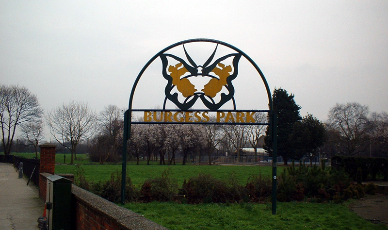
Burgess Park, London
Map

Gallery

Facts and practical information
Burgess Park is a public park situated in Camberwell the London Borough of Southwark, and is close to Walworth to the north and Bermondsey to the east. At 56 hectares, it is one of the largest parks in South London. ()
Day trips
Burgess Park – popular in the area (distance from the attraction)
Nearby attractions include: East Street Market, Camberwell Public Baths, The Blue, Mandela Way T-34 Tank.
Frequently Asked Questions (FAQ)
Which popular attractions are close to Burgess Park?
Nearby attractions include East Street Market, London (15 min walk), Addington Square, London (15 min walk), St Peter's Church, London (16 min walk), Paterson Park, London (16 min walk).
How to get to Burgess Park by public transport?
The nearest stations to Burgess Park:
Bus
Train
Metro
Bus
- Waite Street • Lines: 363, 63, N63 (7 min walk)
- Albany Road / Wells Way • Lines: 136, 343, 42, N343 (7 min walk)
Train
- Peckham Rye (27 min walk)
- Elephant & Castle (28 min walk)
Metro
- Bermondsey • Lines: Jubilee (30 min walk)
- Kennington • Lines: Northern (31 min walk)

 Tube
Tube


